
GPS, Radar Data Detail April 2015 Nepal Earthquake
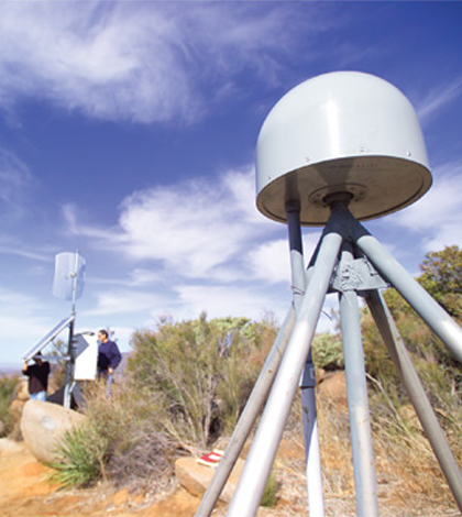
GPS tower used to collect seismic data. (Credit: Scripps Institution of Oceanography)
Using a GPS network and interferometric synthetic aperture radar (InSAR), an international team of researchers has modeled the 7.8-magnitude earthquake that struck Nepal in April 2015, according to a release from the Scripps Institution of Oceanography. Their work is the first to measure such a “mega-thrust” rupture, the cause of the quake, using GPS data.
Scientists involved with the project say that the existing GPS network they pulled data from was able to capture the first few moments of the earthquake, including the mega-thrust rupture on the Main Himalayan Thrust fault. From there, the network recorded as the quake permeated through the Kathmandu basin at a speed of 2 miles per second.
Given the region’s history as an old lakebed, the Kathmandu basin was overly prone to reverberating waves during the earthquake. Its soft sediment, scientists say, helped the vibrations to persist long after the quake had passed.
Researchers believe that their findings will help enhance understanding of earthquake physics in the future. Full results of their investigation are published in the journal Science.

Seismic activity during the April 2014 earthquake in Nepal. (Credit: Scripps Institution of Oceanography)
Top image: GPS tower used to collect seismic data. (Credit: Scripps Institution of Oceanography)


0 comments