
Louisiana coastline disappearing too quickly for mapping
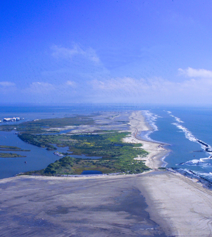
East Timbalier Island (Credit: NOAA, via Wikimedia Commons)
The National Oceanic and Atmospheric Administration says the Louisiana coastline is disappearing too quickly for its mappers to keep up, according to The Atlantic.
NOAA usually studies areas important to navigation or commerce, but recent hurricanes near Louisiana have brought renewed focus on the area. As mappers have compared drawings of the coast to those from the late 20th century, they are seeing fewer inlets and marshland and broader expanses of water.
Much of the coastal disappearance can be attributed to reduced annual flooding of the Mississippi River delta, which added new sediment annually. Estimates place the yearly coastline loss at 16 square miles.
Image: East Timbalier Island (Credit: NOAA, via Wikimedia Commons)


0 comments