
Mapmaker Envisions Future Of Chinese Coast If Ice Sheets Melt
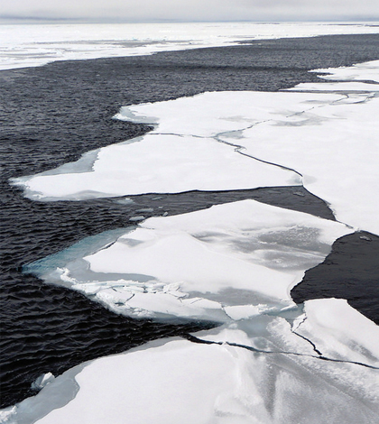
Arctic sea ice. (Credit: NOAA)
A cartographer, Jeffrey Linn, has developed maps showing what some world cities could look like if all of Earth’s ice melted, according to Grist. He’s done them for Los Angeles, New York and Seattle, but his newest maps cover some of the world’s most massive cities in China.
The new maps predict the effects of sea-level rise for Chinese coastal cities, including Shanghai and Haikou. The results are what would be expected, with the maps showing the population centers getting almost completely covered by seawater in an iceless future.
The coastal regions of China that Linn mapped hold more than 540 million people, including the population of megacity Hong Kong (it has 65 million people). If his maps become reality, most all of those people will have to move inland, as the Chinese coast will recede to resemble an archipelago instead of the tidy coastline it is today.
Featured Image: Arctic sea ice. (Credit: NOAA)


0 comments