
Massachusetts water monitoring program gets SMART
Warren Kimball, a watershed program manager for Massachusetts’ Department of Environmental Protection, saw problems with the state’s water quality monitoring program.
The program monitors only 18 percent of the state’s river miles, Kimball said during a recent National Water Quality Monitoring Council webinar. What’s more, the state’s system focuses on a narrow range of parameters, mainly point-source pollution. That means the program misses issues like acid rain and mercury in water.
In an attempt to fill the gaps, Kimball pioneered a new approach to monitoring that uses partnerships and analysis to create a more comprehensive and efficient system. He calls it Strategic Monitoring and Assessment for River Basin Teams, or SMART monitoring.
SMART monitoring combines facets of monitoring from groups of volunteers and state employees.
Kimball and Therese Beaudoin, watershed coordinator for the DEP’s central regional office, continually survey fixed stations in select areas of six central Massachusetts river basins. They use U.S. Geological Survey stream gauges to monitor flow. They monitor water quality for exposure indicators, like water chemistry, that give them information on river trends and repair progress. They also monitor for response indicators, biological cues, which give information on basin health.
The established state system is used for point source monitoring. Local river groups collect data on streams in their backyards. “We need separate programs for separate goals,” Kimball said.
Many factors impact streams and rivers over varying time scales. Rain randomly washes pollution from city streets into rivers; climate patterns change yearly; water flows fluctuate with the seasons. It goes on and on. Kimball sorts through all these factors by breaking up river basins into sections and monitoring each for parameters that are most easily accessible and visible in each section.
He breaks river basins up into main stems, tributaries and headwaters. Water flow, sediment, biology and chemistry are monitored in larger river sections, like tributaries and main stems. Bacteria, habitats and aesthetics are monitored in small streams.
The SMART monitoring approach increases sampling resolution as stream size decreases. Kimball decided to go this route because rain running through headwaters is the cleanest water in river basins. Headwaters also contain the smallest volume of water in a river basin. Therefore a change in a small concentration of very clean water will be much easier to spot than a change in a large river main stem.
Small headwaters make up 75 percent of river miles in the state of Massachusetts. “It’s useful to stratify rivers by stream size, but you’re going to see this mass majority in headwaters,” Kimball said.
That means many reference points, but monitoring them regularly would be an impossible task. “It’s futile to sample them because there’s just too many of them,” Kimball said.
Instead of attempting to sample some 4,000 headwater streams, he chooses sampling sites based on GIS maps. He seeks out areas near impervious cover, like roads and roof tops. “(Impervious cover) tends to correlate quite nicely with stream degradation,” Kimball said.
Citizen monitoring also plays a key role in the SMART approach. Kimball said several citizen monitoring groups catch random events with scheduled monitoring, which helps identify non-point source pollution. Data quality varies widely, from professional chemical analysis to photographs of stream sites. Kimball said the agency’s approach to community monitoring is a smorgasbord. He’s not one to turn data away.
“Our approach has been, ‘Whatever they give us, we’re happy with,’” Kimball said. “It extends our reach.”
Every five years, the program updates scorecards on water quality for river basins with this compilation of data. This gives them a direction for watershed repair and trend observation.
Though the program is 15 years old, it’s still a pilot program the state has yet to fully adopt. Kimball said that continually dwindling resources will soon necessitate a more efficient and resourceful program.
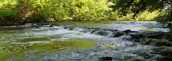
Image: The Blackstone River in Massachusetts (Credit: Doug Kerr, via Flickr)


0 comments