
Models show rising temperatures could upend Lake Michigan Basin’s climate
People living throughout the Lake Michigan Basin in 2100 might pore over historical records from our time and find that their home undergoes warmer, wetter winters and drier springs than it once did. Such a future is laid out in a new report by the U.S. Geological Survey. It reveals that climate change could drastically alter hydrological trends over the next century.
The report is based on USGS precipitation and runoff models designed to forecast the impact of rising temperatures in the basin through 2099. Daniel Christiansen, a USGS supervisory hydrologist and lead author of the study, created a new model as part of the Great Lakes Restoration Initiative.
“We developed this as a tool for the EPA and others,” Christiansen said, “for restoration efforts and you name it.”
The models behind the study integrated streamflow, evapotranspiration and solar radiation data sourced from hundreds of USGS streamgages and National Weather Service meteorological stations. Some of the data dates back to 1977. “The biggest problem” with employing his new model, Christiansen said, was its sheer size.
“Calibration of a such a large model takes a lot of computer power,” he said. “We had to actually develop a software program to help calibrate this model.”
Luckily, that program seemed to do its job. Christiansen and his co-authors uncovered some pretty telling trends in the basin’s modeled future.
The models show that by the end of the century, minimum and maximum daily temperatures in the Lake Michigan Basin could rise by as much as 8 and 7 degrees Fahrenheit respectively. Christiansen says that a temperature increase of this magnitude could lessen spring snowmelt, reducing streamflow and water availability. Furthermore, growing seasons could lengthen, in turn increasing evapotranspiration.
“An increased growing season could be positive, but at the same time, by lengthening it you also increase temperatures,” Christiansen said. “That can reduce yields.”

Springtime high water associated with snow and ice melt on the Bad River near Odanah, WI. (Credit: USGS)
Agriculture yields wouldn’t be the only victim of climate change in the basin. Earlier springs and later autumns would disrupt the migration of birds responsible for pollenation. If plant reproduction cycles were majorly affected, entire ecosystems might be thrown into disarray. The northern part of the basin, Christiansen said, could end up looking a lot more similar to the southern region.
Christiansen has proposed an expansion of the modeling to include Lake Erie and Lake Superior. The challenge there is the necessary merger of data from U.S. and Canadian sources, which don’t always abide by the same standards. Until that project is approved, the researchers are developing a special tool that will increase accessibility to their findings.
“We are working on a mapper for this tool that will allow everyone — public and water restoration folks — to be able to go in and look at different scenarios and models,” Christiansen said.
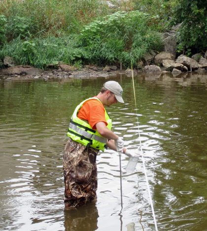
Top image: Pete Lenaker of the USGS collects a water sample from the Manitowoc River near Manitowoc, WI. (Credit: USGS)


0 comments