
New Monterey Bay sensors track algae and other troubles
A new system of automated water sensors in Monterey Bay is providing real-time information about the physical ocean environment. The sensors afford valuable data to the local shellfish industry, research organizations and the public by recording levels of conductivity, dissolved oxygen, turbidity, chlorophyll and pH in Monterey Bay.
The installation and maintenance of the sensors is a collaborative effort by the Central & Northern California Ocean Observing System (CeNCOOS), the Monterey Abalone Company and Moss Landing Marine Laboratories.
“The goal is to provide a mutually beneficial scenario where private industry, academia and nonprofit parties can share the operational burdens and benefits of a dedicated water quality station,” said Janine Scianna, Program Manager of the CeNCOOS.
The data, available to the public online and via an iPhone app, will be of benefit to users of ocean data like surfers, ship operators, scientists, marine resource managers, emergency responders and others to inform daily decisions.
In addition to informing the public about daily ocean conditions, the data will also be used to monitor potentially dangerous public health situations like the movement of oil spills and accidental waste spills, as well as to predict and monitor harmful algal blooms (HABs).
“Toxins associated with blooms can be incorporated into fish and shellfish like abalone and have devastating impacts for humans that consume them unknowingly,” Scianna said. “Gaining a better understanding of when, where and under what conditions HABs form, and eventually being able to predict when a bloom might occur, can have huge health benefits.”
The data is collected by the Monterey Abalone Company and transmitted wirelessly to an online database. Then, Moss Landing Marine Laboratories, a marine research consortium, accesses the data and provides quality control. CeNCOOS makes the data available to the public online via its ocean data portal and the iPhone app. CeNCOOS also works with the National Oceanic and Atmospheric Administration to ensure that the data is standardized for input into the Integrated Ocean Observing System, an initiative that aims to enhance the ability to collect, deliver and use ocean information.
Monitoring physical ocean conditions is of particular concern to the abalone industry. In 2011, an algal bloom was the suspected cause of an abalone die-off along the northern California coast. Detecting low levels of dissolved oxygen can signal a harmful algal bloom.
“With early detection or prediction [of a bloom], managers could relocate their crops and minimize exposure to the hypoxia.” Scalia said. “Closing certain prone fishery regions, while keeping other non-affected regions open, can greatly minimize health risks while limiting economic effects.”
The data could also contribute to long-term research about HABs. Scalia hopes the data will detect human causes, like excess nutrient runoff from land, and allow for the creation of preventative policy options.
“When bloom events can be prevented, the benefits go beyond human health to include marine ecosystem health,” Scalia said.
While providing important data to private industry and the public, the sensors have a number of other long-term benefits including gaining a better understanding of the results of human interaction with the ocean environment, creating reliable, long-term records of water quality and ocean data at a particular location and improving ocean models by verifying model predictions with real data.
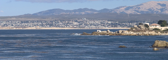
Photo: South Monterey Bay, via Wikimedia Commons


0 comments