
NOAA cruise tracks fish, maps spawning habitat off Florida Keys
When it comes to fish spawning, what happens in the Tortugas does not stay in the Tortugas.
In fact, fish spawning between the Tortugas and Key West is crucial to not only the biodiversity of the Florida Keys, but to the biodiversity of other states as well, said Karrie Carnes, communications coordinator for the Florida Keys National Marine Sanctuary.
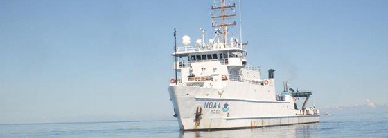
That’s why a group of Florida scientists boarded the NOAA ship Nancy Foster, where they spent 10 days mapping and studying fish spawning and populations in the Tortugas Ecological Reserve, Dry Tortugas National Park, and surrounding areas.
The research, a collaborative effort with Florida Keys National Marine Sanctuary and partner agencies, will give scientists the information they need to help preserve these important areas for future fish populations.
The need for fish protection in these areas dates back to the 1990s when Florida fishermen were disturbing the natural spawning process for many species of fish. After realizing what was happening, the fishermen got together to come up with a solution before fish aggregation, a group of species living closely together, was completely wiped out. Since 1999, scientists from the University of Miami and NOAA began conducting a long-term study of visual surveys to understand how zone protection affects certain fish species.
The scientists began by using multibeam and splitbeam sonar to provide high-resolution maps of the sea floor. The maps allow for visual surveys to look for common habitat characteristics between spawning sites, including what attracts fish to these areas. In deeper water, NOAA used remotely operated vehicles to document the same information.
“(The sonar) is basically looking for fish. So while they were mapping, they were also looking for what was above the sea floor,” Karnes said. “(It’s) basically a high tech fish finder. If they were getting a signal of large groups of fish, divers would do a visual confirmation if those were the fish they were looking for and if they were displaying spawning behavior.”
The high tech mapping has also allowed researchers to discover the return of a historic mutton snapper spawning group.
“We think this is a true success. By removing the fishing we could restore aggregation from the brink of extinction,” Karnes said.
In addition to mapping the ocean floor, NOAA also sent divers to deploy and replace underwater acoustic receivers known as VR2s. These receivers detect acoustically tagged fish to show and document where fish travel.
“Humans probably travel the same path from their house to work everyday. We want to know more about those movements of these important fish,” Karnes said.
The receiver monitoring has also allowed scientists to discover a migration corridor for fish traveling between their spawning area to feeding area. This ‘mini-highway’ takes the fish from the protective reserve to areas where fishing is open, which allows scientists to then determine whether they need more fish protection in that area.
During the most recent expedition, scientists sent out 214 divers, recovered 57 acoustic receivers, and mapped more than 266 miles of sea floor. The next step will be to download the data and find where the fish are traveling and breeding. The results from the cruise will feed directly into any future management decisions on whether protecting new areas will be necessary.
“We need to protect those fishing aggregations to allow those fish to spawn and do what they do naturally so we can continue to have healthy fish populations in the future,” Karnes said.


0 comments