Powerful New Satellite To Monitor Glacier Ice Loss In 2017

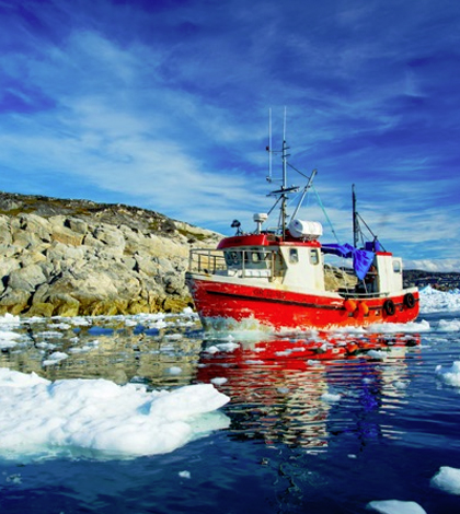
Ilukissat, Greenland. (Credit: Ken Burton / Vancouver Maritime Museum)
Monitoring ice loss in national parks such as Glacier National Park is currently done from the ground using tree ring studies, photography and snow measurements. However, in a couple years, the process of monitoring glacier loss due to climate change will be done much more easily by an advanced NASA satellite called ICESat-2, according to PBS.
The Ice Cloud and Land Elevation satellite to be launched in 2017 is capable of measuring the whole spectrum of glacier ice, from the enormous amounts of ice at the poles to the relatively tiny amounts in Glacier National Park. ICESat-2 uses an Advanced Topographic Laser Altimeter System, or ATLAS, which is powerful enough to detect differences between a mowed and unmowed lawn from space.
The laser emits 10,000 photons per second which will bounce off ice sheets and return to a receiver on the satellite. Scientists will be able to determine distance by how long it takes for photons to return to the receiver. The difference in distance between water and the satellite and ice and the satellite will tell scientists ice thickness.
Top image: Ilukissat, Greenland. (Credit: Ken Burton / Vancouver Maritime Museum)


0 comments