
Repeat photography a good way to monitor rangeland environments
Environmental monitoring of rangelands can be difficult: The large areas can make data difficult to interpret and tedious to collect. According to a recent blog entry in University of California Division of Agriculture and Natural Resources, however, repeat photography can be a simple way of tracking rangeland changes.
Repeat photography involves repeated pictures of selected areas of rangeland, which over time will reveal important fluctuations such as the emergence of novel vegetation, changes overall vegetation composition, vegetation stress, blooms and die-offs. Close ups of selected areas can show plant and soil variations in some detail, and when combined with long-range photographs, will show overall trends of the area being monitored.
The method valuable because it can show which range management techniques are working. It can also show effects from droughts, floods or other significant weather events, the emergence and proliferation of weeds or other trends which can alert the range manager of a need for prevention or control.
For the method to work, photograph sites, seasons and and intervals must be consistent.
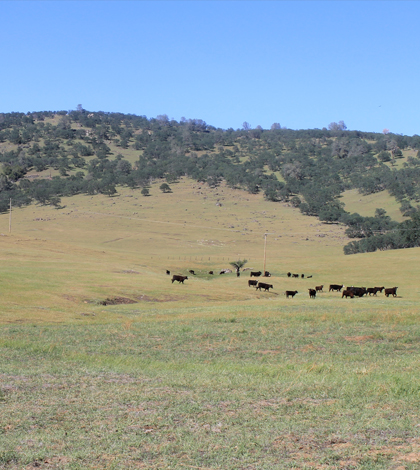
Top image: Repeat photography is used to monitor wide views of landscape changes. (Courtesy of the University of California)


0 comments