
Scientists use temperature loggers, satellites to study Andes’ slopes
By Daniel Kelly on January 29, 2014
Researchers at the University of Delaware are burying temperature sensors in the frigid high slopes of the Andes Mountains, according to a release. The deployment is part of work to help better mining practices taking place in the region.
The team is using radar data from satellites and 3-D modeling to map the icy landscape. Data on annual snow cover is also being collected to give an accurate prediction of changes that occur in the frozen earth.
The researchers’ findings will increase understanding of the icy rock formations and help determine potential environmental impacts from several new mines being developed in the mountain range and their effects on the area’s geology.
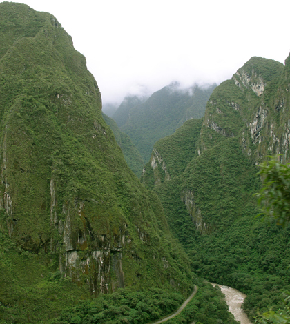
Image: Peruvian Andes (Credit: Thomas Quine, via Flickr)


0 comments