
Southwestern Kansas Streamflows Down Since 1950s
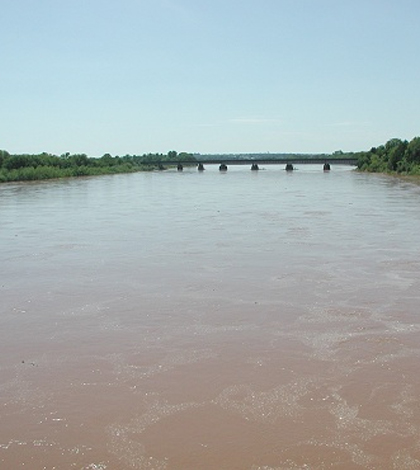
Cimarron River near Guthrie, Oklahoma. (Credit: National Weather Service)
Streamflows in southwestern Kansas are down since the 1950s, according to a release from the U.S. Geological Survey. Officials from the agency say that the most likely causes are groundwater withdrawals that have drawn down levels of underground water supplies in the region.
Scientists made the discovery after assessing streamflows at nine different streamgage sites throughout 2014. The results of that analysis showed that groundwater pumping from the High Plains aquifer has likely been a primary cause of diminished annual flows in the Cimarron River and Crooked Creek in southwest Kansas. Rattlesnake Creek, which runs through the state’s south-central region, has also been affected.
In other Kansas rivers, including the Chikaskia, North and South Fork Ninnescah and Medicine Lodge Rivers, there hasn’t been similar declines in annual flows. USGS researchers believe this is because the areas that the rivers run through are much less affected by the pumping of groundwater.
Full results of the study are available in the USGS Publications Warehouse.
Top image: Cimarron River near Guthrie, Oklahoma. (Credit: National Weather Service)


0 comments