
‘60s era satellite photos dug up to improve polar ice record
Back in the 1960s, primitive satellites circled the Earth snapping photos of polar ice, according to The Verge. At the time, however, scientists weren’t focused on changes in the ice like they are today. As a result, many of those valuable images were scattered throughout the U.S. and elsewhere.
Scientists at the National Snow and Ice Data Center, in a painstaking work, have digitized many of those measurements to improve the polar ice record. Some of the images, many of which were hidden in national data repositories in old canisters, had to be displayed on televisions and then transferred to digital form.
The process recovered more than 250,000 images of Arctic and Antarctic sea ice dating back to the beginnings of the space race. They reveal two new findings: the largest and smallest Antarctic sea ice extent ever recorded, just one year apart.
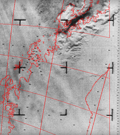
Top image: Recovered satellite imagery of Arctic ice. (Credit: Nimbus Satellite Data Rescue Project/CIRES/NASA)


0 comments