
EPA’s How’s My Waterway tool gets update
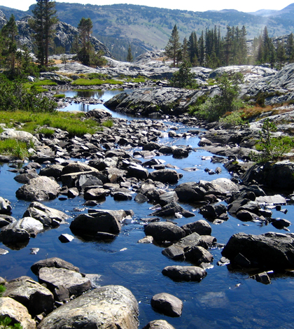
San Joaquin River headwaters (Credit: cookfisher, via Wikimedia Commons)
The U.S. EPA has launched enhanced versions of its How’s My Waterway tools, according to a release. They include a website and smartphone app to help users find water quality info on thousands of rivers and streams across the country.
After users input a location, data on nearby waterways are shown, revealing when the last assessments were performed and if remediation plans are in place. Updates to the tools also show data on local drinking water sources and map-based versions for displays in museums and kiosks.
EPA officials say the updates are based on user feedback. They note the improvements are user-friendly and provide more localized data than previous releases.
Image: San Joaquin River headwaters (Credit: cookfisher, via Wikimedia Commons)


0 comments