
Fish habitat in Florida Keys reserve to be mapped
A 10-day cruise aboard the NOAA ship Nancy Foster will allow Florida scientists to map fish spawning sites between Key West and the Dry Tortugas, according to a release from the agency.
The research, a collaborative effort with Florida Keys National Marine Sanctuary and partner agencies, will give the scientists a better understanding of fish spawning and movement around the sanctuary’s Tortugas Ecological Reserve.
Scientists will assess the seafloor by using multibeam and splitbeam sonar to provide high resolution maps. They will also use fishery acoustic sonar to map fish and determine the similarities of various spawning sites.
Divers will also redeploy 74 acoustic receivers in and around the reserve to monitor acoustically tagged fish. The tags allow scientists to document the spawning sites of the reserve and the park’s Research Natural Area.
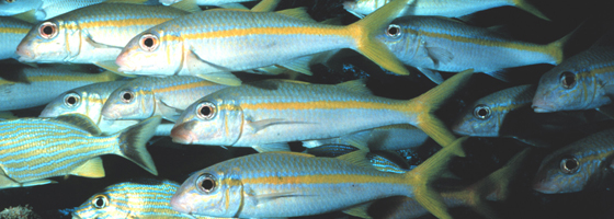
Image: Alan R. Bunn, Florida Keys National Marine Sanctuary


0 comments