
Forest Service Partners With NASA To Predict Wildfires With Satellites
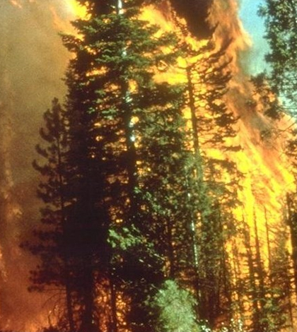
California wildfire. (Credit: Bureau of Land Management)
The U.S. Department of Agriculture Forest Service (USFS) has partnered with NASA to utilize satellite data to find small wildfires and predict their patterns based on weather and land conditions. The Suomi National Polar-orbiting Partnership (NPP) satellite offers high-resolution imagery using the Visible Infrared Imaging Radiometer Suite (VIIRS).
According to a NASA press release, older satellites view fires from 3,280 feet but the NPP can view them from as close as 1,230 feet. The VIIRS submits data from the satellite every 12 hours to help detect smaller fires, enabling responders to act more quickly to stop wildfires from spreading than previous satellite data allowed.
In addition, the VIIRS can also predict fires before they even occur by using weather data to detect possible threats of wildfires in an area. The press release states that the model can predict the pattern of a wildfire 12 to 18 hours in advance.
With longer periods of drought, a changing climate and an increasing number of wildfires, this tool comes at a good time to help firefighters all over the world predict fires and stop them before too much is lost.
Top image: California wildfire. (Credit: Bureau of Land Management)


0 comments