
New soil mapping tool to help farmers manage land, boost profits
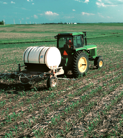
A farmer applies nitrogen fertilizer to a corn field in Iowa (Credit: U.S. Department of Agriculture)
Farmers looking to maximize the profitability of their land have a new tool in their arsenal. Agronomist Phillip R. Owen of Purdue University has developed detailed soil mapping technology that will help farmers decide how to best manage their land, Farm Futures reported.
While the U.S. Department of Agriculture already offers soil maps of the lower 48 states, Owen asserts that they lack the definition needed to be truly useful. His maps show soil properties such as organic carbon content, water table location and cationic exchange. They can also determine which parts of a field offer the highest and lowest yields.
The maps are rendered in detailed color through Geographical Information Systems technology, but Owens said other formats could be developed as needs arise. He’s currently looking for investors and help with licensing to turn the technology into a product available for farmers across the U.S.
Image: A farmer applies nitrogen fertilizer to a corn field in Iowa (Credit: U.S. Department of Agriculture)


0 comments