
Satellite Data Show Sea Level Rise Varies By Location Globally
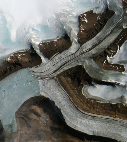
Greenland's rising bedrock interacts with its ice loss from global climate change. (Credit: ESA/Sentinel-2, Copernicus Sentinel data)
Although sea levels are rising across the globe, local sea level changes vary greatly, according to a release from NASA’s Jet Propulsion Laboratory. Satellite data showed a wide range of sea level changes all over the globe, from a decrease in sea level in Scandinavia to China’s Yellow River delta which is rising 9 inches per year.
Satellite data from the past 23 years were used to look at local sea level variations. Although the average sea level rise is only a few millimeters a year, local condition changes can vary greatly due to tides, winds, ocean currents and the solid Earth, which rests on a moving hot liquid mantle.
Global warming not only causes ice melt but also causes shifts in the liquid mantle under the seemingly solid rock of the Earth. The Earth has an instant response to ice sheets melting called its elastic response. This is followed by post-glacial rebound. Each ice sheet and glacier, furthermore, has a response so unique to its surrounding water that the response is viewed as a fingerprint. These factors are affected by global warming and subsequent ice melt.
Top image: Greenland’s rising bedrock interacts with its ice loss from global climate change. (Credit: ESA/Sentinel-2, Copernicus Sentinel data)


0 comments