USGS: Northern Alaskan Shoreline Has Extremely High Erosion Rate

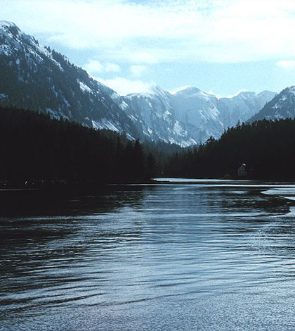
Alaksa. (Credit: NOAA)
Coastlines may change for a variety of reasons, such as sediment availability, fluctuations in sea level, storm impacts or human interference. But the cause of the receding northern Alaskan shoreline is unclear, as scientists measure an average loss of about 1.4 meters per year there, according to a press release from the U.S. Geological Survey posted in Environmental News Network.
USGS researchers have used maps from the 1940s and 2000s to track the erosion, as well as aerial photographs. LIDAR, a modern method that uses light detection and ranging, has also been employed. After finding erosion trends over a 50-year timeframe, scientists say the data were highly variable, but the general trend of high erosion still emerged.
Scientists are currently working to gain a better understanding of the coastal erosion processes. Further research is needed, as severe coastal erosion in northern Alaska continues to impact native villages, delicate ecosystems, energy infrastructure and both state and federal lands. It is hoped that a better understanding of northern Alaskan erosion will allow better management and protection of the valuable but vanishing coastline.
Top image: NOAA


0 comments