
Wetlands around bloom-prone Saginaw Bay studied for nutrient filter role
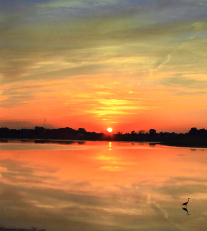
Sunset over the Shiawassee National Wildlife Refuge (Credit: Rebecca Kelly/USFWS)
Before European colonization, the Saginaw Bay watershed was home to a wetland complex encompassing more than 700,000 acres. Most of the wetlands were drained to make land available for farming and to control mosquito populations, leaving only 20 to 30 percent of the original acreage today.
Though greatly diminished in extent, wetlands in the Lake Huron tributary watershed have recently gained attention as potential filters that could be used to clean water entering the bay, which has been experiencing a rise in algal blooms. The U.S. Fish and Wildlife Service and Ducks Unlimited have been granted $1.5 million to begin restoring the wetlands, which sit in the Shiawassee National Wildlife Refuge near Saginaw, Mich.
A study finished in April 2014 at the University of Michigan charted nutrient inputs and outputs for the Shiawassee Flats, providing valuable baseline data that will be used to evaluate the restoration project’s success.
“The data will be helpful in evaluating the restoration project once it happens,” said Aubrey Scott, a recent master’s graduate in the conservation ecology program. “Without it, you wouldn’t have a basis for comparison. And it’s one of the more detailed input/output wetland analyses out there.”
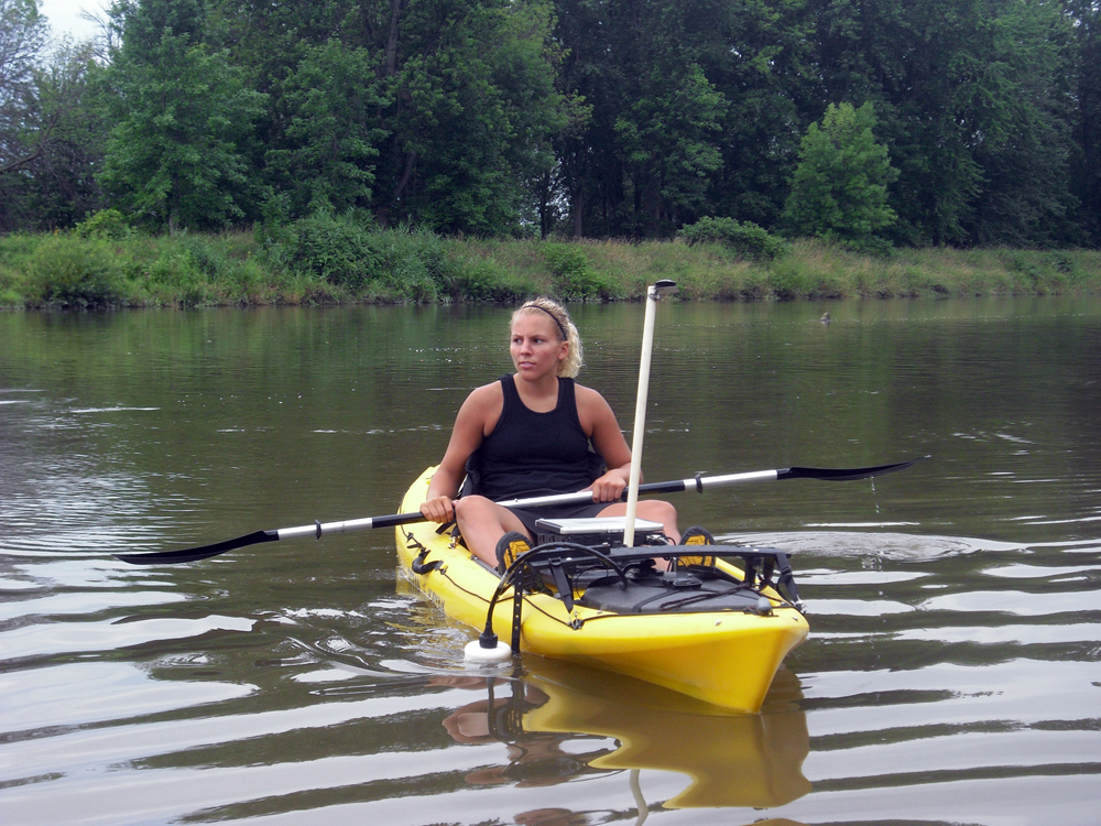
Aubrey Scott in her kayak equipped with flow-sensing instruments (Credit: Andrea Dominguez)
She gathered data at 10 different sites in the Flats complex using a kayak fitted with an Acoustic Doppler Current Profiler that measured discharge as she paddled. A ruggedized laptop served as a data logger, and helped Scott stay in a straight line as she made transects across the rivers.
“It’s a nice way to take measurements,” Scott says, but “there are times when it is pretty miserable too, like mosquitoes are out or it’s 100 degrees.”
Her trips revealed the complex hydrology of the watershed and differences between its storage capacity in dry or wet times. A drought period hit the wetlands in 2012, while 2013 was a high-flow year. Six times the amount of water was discharged from the wetlands in 2013 than the previous year; despite this, less reactive phosphorus was released from the wetlands in 2013 than 2012.
The edge of a distributary canal near the Shiawasee Flats. This usually dry area is farmed for corn when it isn’t underwater. It flooded in 2013. (Credit: Aubrey Scott)
Scott notes water is usually stored in the spring and discharged in the summer across the Flats. But concentrations of inorganic phosphorus and nitrogen were generally reduced, “although the Flats wetlands did also appear to act as a source for reactive phosphorus at certain times of the year,” said Scott.
Over the course of study, data showed river water that had passed through the Flats was lower in inorganic nitrogen when it was added to the Saginaw River. Concentrations of reactive phosphorus changed little, although there was a trend towards reduction during low flows, when water was released from storage.
The findings have already been shared with the refuge and the University of Michigan. Still more is left to learn about the wetlands and Scott plans to continue sampling to add to the dataset. Though her work is a site-specific analysis, there are similarities that could aid restoration work in other Great Lakes wetlands.
Top image: Sunset over the Shiawassee National Wildlife Refuge (Credit: Rebecca Kelly/USFWS)


0 comments