Airborne Effort Surveys Southern California Beaches’ Response To El Niño

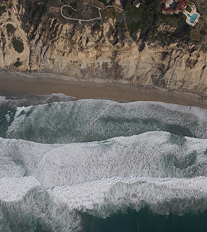
San Diego coastline as seen from a research aircraft. (Credit: Scripps Institution of Oceanography)
Scientists at Scripps Institution of Oceanography are creating a detailed survey of the elevations of Southern California beaches and cliffs in the midst of one of the strongest El Niño seasons of the last 60 years, according to a release. The work is meant to help the U.S. Navy better understand the effects of climate change and rising sea levels.
Researchers at the institution are leading aircraft-based measurements using an imaging suite called the Modular Aerial Sensing System. During flights along the Southern California coast, light detection and ranging equipment is also being used to measure the elevations of sand and cliffs along California’s beaches as they respond to storms and sea levels as much as 9 inches higher than historical averages.
In addition to helping the U.S. Navy carry out its mission, scientists say that the data could help U.S. cities and states as they adapt to higher sea levels that could change how coastal and urban infrastructure is managed in coming decades. The full dataset will include information on how the combination of sea levels, storms and tides can change beach and cliff topography.
Top image: San Diego coastline as seen from a research aircraft. (Credit: Scripps Institution of Oceanography)


0 comments