Early Warning Buoy System – ORSANCO

Project Overview
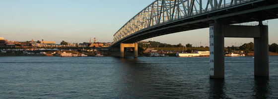
The Ohio River starts at the confluence of the Allegheny and Monongahela Rivers in Pittsburgh, and flows mostly southwest for 981 miles and drains an area of about 204,000 square miles. It empties into the Mississippi River at Cairo, Illinois. The river serves some of the nation’s busiest industrial cities, richest farmlands and productive coal fields.
The Ohio River Valley Water Sanitation Commission (ORSANCO), an interstate commission representing eight states and the federal government, was established on June 30, 1948 to control and abate pollution in the Ohio River Basin. The agency operates programs to improve water quality in the Ohio River and its tributaries, including: setting waste water discharge standards; performing biological assessments; monitoring for the chemical and physical properties of the waterways; and conducting special surveys and studies.
Hoping to provide researchers with early warning of water quality issues on the River, ORSANCO asked Fondriest Environmental to help develop and launch a real-time water quality monitoring data buoy system – AMI (Advanced Measurement Initiative Buoy).
Early Warning Buoy System Description
The early warning buoy consists of multiple sensors that monitor real-time conditions in the Ohio River. A large steel hull was then designed to house multiple instruments and telemetry equipment to transmit wireless data to a base computer.
The YSI 6600 multi-parameter water quality sonde is used to simultaneously log temperature, conductivity, DO, pH, turbidity, and chlorophyll data. Operators use the sonde data to watch for changes in water quality conditions that may indicate an event such as a spill, leak, or contamination has occurred.
For flow measurement, a SonTek Argonaut MD records river current and velocity directly below the buoy. To take physical water samples, an ISCO 6712C sampler is triggered by iChart software when water quality and flow parameters fall outside a specified range.
NexSens iChart software and spread spectrum radios were chosen to transmit, save, and post real-time data from environmental sensors. A NexSens 4100-iSIC field radio transmits the data every hour to the 4100-Base radio connected to a PC. NexSens iChart software allows data storage, analysis, graphical output and system management from one central location. iChart software automatically produces reports and posts the outputs to the ORSANCO web page.
Posting real-time data to a web page gives access to both researchers and Ohio River recreational users. Anyone visiting the web site can view water flow, clarity and temperature conditions and compare them to past days? conditions. While the researchers use the information to help monitor spills moving downstream and to document long-term river trends, the general public can use it to determine if conditions are favorable for boating and fishing.


0 comments