Infographic: Polar Ice
Polar Ice infographic. (Credit: Nate Christopher / Fondriest Environmental)
The Winter 2015 print edition of the Environmental Monitor had a focus on national parks and specifically the impacts that humans have had on them despite being set aside for protection in the parks system.
Here’s more on a few parks that we looked at:
- In Yosemite National Park, the 2013 Rim Fire that burned 78,895 acres of the park after a hunter’s fire went wild encroached on a reservoir that supplies San Francisco’s drinking water. Parks scientists looked at the burned landscape’s effects on water quality.
- In Sequoia National Park, scientists studying a remote lake high in the Sierra Nevada mountains found that influences on water temperatures are more complicated than just rising atmospheric temperatures.
- In Glacier National Park, the disappearance of a rare insect from five streams suggests that unique ecosystems will fade away with glaciers predicted to melt in the next three decades.
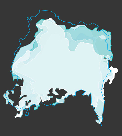
Going off some of this glacier coverage, our infographic was on Polar Ice caps. It covered key differences between the Arctic and the Antarctic, as well as taking a closer look at the extent of ice at each pole. We also included important information on the amount of heat stored by oceans and how that may be impacting the ice levels.
Check out the full infographic here:

Polar Ice infographic. (Credit: Nate Christopher / Fondriest Environmental)


0 comments