
Iowa Flood Center runs online application
By Daniel Kelly on June 24, 2013
The Iowa Flood Center has a user-friendly, online application for accessing data on flooding across the state, according to a release. The Iowa Flood Information System uses a Google Maps interface.
After accessing the application online, users can see data on 275 stream gauges across Iowa. Current flood warnings and forecasts, as well as rainfall maps and past accumulations are also available.
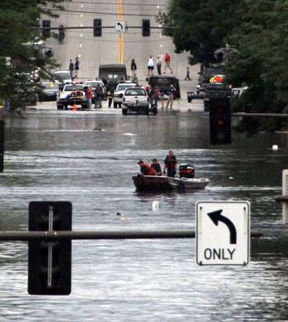
Special flood maps for select communities are included in the tool: Ames, Cedar Rapids and Des Moines are just a few. The maps are meant to help avoid future flood damage after Iowans sustained more than $1 billion in losses during 2008 flooding.
Image: Floods in Cedar Rapids, Iowa in 2008 (Credit: Oscar Sanchez/U.S. Air Force, via Wikimedia Commons)


0 comments