
Mapping tool gives insights into Colorado wildfires
A new mapping tool may help officials in Colorado determine wildfire risk and target management techniques, according to a release from Colorado State University. The tool provides access to maps, data and reports.
The Colorado Wildfire Risk Assessment Portal lets users see information specific to defined project areas, such as neighborhoods or watersheds. The portal interface lets users view the history of forest fires in an area, how intense a future fire could be and the likelihood of future fire events.
The general public can use the tool to explore wildfire risk and generate maps, while professional users have more advanced capabilities for project planning. The project is supported by the Colorado State Forest Service.
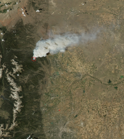
Image: The High Park Fire in Colorado (Credit: NASA)


0 comments