Scientists make 3D model of coal ash pond spill site
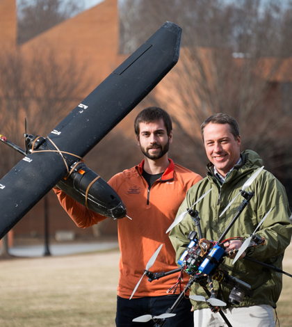
Max Messinger and biology professor Miles Silman with remote controlled helicopter and plane. (Credit: Wake Forest University)
Researchers at Wake Forest University used an unmanned aircraft equipped with a camera to take photos of a February coal ash spill that affected the Dan River in North Carolina, according to a release. The photos were then used to piece together a 3-D model to show the extent of the spill.
From the images, researchers estimate that 16 to 20 million gallons of ash and water spilled. They say another 15 million gallons leaked out in days that followed.
All data collected have been shared with local, state and federal authorities to help them deal with the spill. And researchers hope the value of the model will show the technology they’ve developed is a cost-effective way to monitor environmental disasters in the future.
The spill occurred Feb. 2 after a pipe burst near a coal ash pond owned by Duke Energy.
Image: Max Messinger and biology professor Miles Silman with remote controlled helicopter and plane. (Credit: Wake Forest University)


0 comments