
Urban Water Blueprint web tool shows risks to water supplies
The Nature Conservancy has released an online tool called Urban Water Blueprint showing information on water supplies in urban areas. In addition to showing risks that urban water supplies face, the map interface also shows some conservation solutions for areas around the globe.
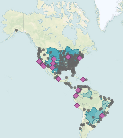
Visitors to the online tool are presented with a worldwide map overlain with data broken down by city. These apply to water and land usage, risks to the water supply, as well as conservation steps that cities are taking.
The Urban Water Blueprint project aims to make the connection between nature and the roles it plays to keep water sources clean. The tool includes data for more than 2,000 watersheds and 530 cities worldwide.
Top image: Urban Blueprint maps information on water supplies in urban areas. (Credit: Urban Blueprint)


0 comments