Variability Of Wetlands In Great Plains Captured With Satellites
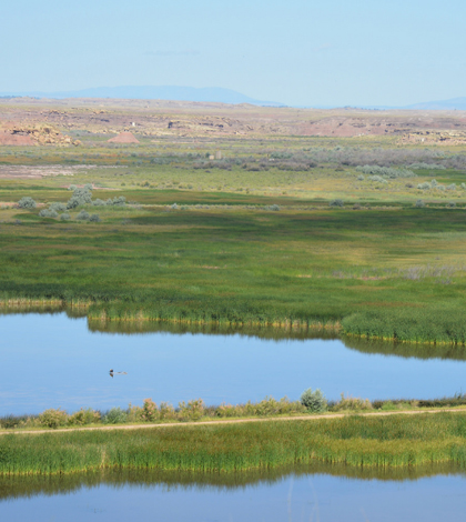
Pariette Wetlands in Utah. (Credit: U.S. Department of Interior / Public Domain)
A project led by scientists at the University of Wyoming has used pre-existing data and satellite imagery to highlight the variability of wetlands. The approach that researchers used predicted the presence of surface water in semi-arid landscapes that change over time.
Field data used in the effort came largely from the Northern Great Plains. Satellite data on the region spanning 30 years of change were also considered. By bringing the two data sets together, investigators were able to estimate where and how long surface water persists on landscapes, a key marker of variability.
The technique provides cost-effective wetland monitoring over large areas while also promoting informed conservation and management decisions. It also lays a foundation for addressing the effects that climate change may have on wetlands.
Researchers say that it’s important not to see wetlands as features that stick around over the long term. They are in fact much more dynamic and can fluctuate dramatically across years. Some only hold water for a few months out of the year, but are still important for maintaining biodiversity in more arid regions like Wyoming.
Funding for the work was provided by the U.S. Fish and Wildlife Service, Wyoming EPSCoR and Wyoming NASA Space Grant Consortium. The Nature Conservancy collaborated in the effort. Full results are published in the journal Remote Sensing of Environment.
Top image: Pariette Wetlands in Utah. (Credit: U.S. Department of Interior / Public Domain)


0 comments