
Glacier Melt Enough To Cover Alaska With A Foot Of Water Every Seven Years
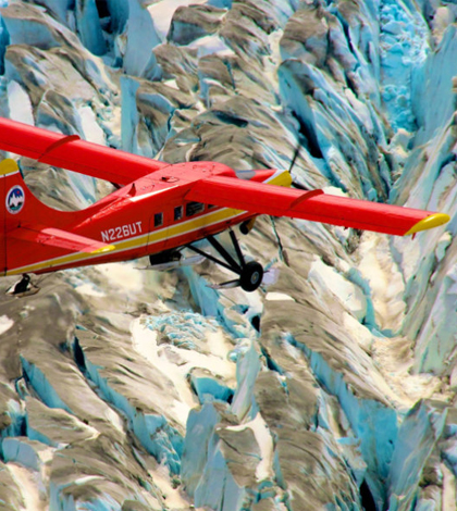
Operation IceBridge Alaska flies a lidar survey over the glaciers. (Credit: Chris Larsen)
According to a recent press release from the American Geophysical Union, the continued melting of glaciers in Alaska is enough to cover the state in another foot of water every seven years. In addition, Alaska’s melting glaciers could contribute significantly to a rise in global sea levels.
Scientists at the University of Alaska Fairbanks and U.S. Geological Survey used airborne lidar altimetry data and surveys of 119 Alaskan glaciers over a period of 19 years to assess the degree of Alaskan glacier ice loss. Data included the size and shape of each glacier and ice losses due to glacier melt and iceberg calving.
The researchers found that tidewater glaciers were having a minor effect on sea level rise. Glaciers that ended on land, however, were having a large effect, contributing most of the melt water and causing significant sea level rise.
Although mountain glaciers like Alaska’s are only 1 percent of the world’s glacial ice, their melting accounts for a third of the increase in global sea levels. Researchers believe most of the melt is driven by climate change.
Top image: Operation IceBridge Alaska flies a lidar survey over the glaciers. (Credit: Chris Larsen)


0 comments