
New satellite mapping tools measure carbon capture in coastal marshes
A researcher at the University of Georgia has developed instruments and technology to use satellite measurements in modeling carbon capture in coastal salt marshes, according to a release. The tools were developed with support from NASA.
Much of the modeling will rely on data from NASA’s MODIS satellite and will look to measure the carbon exchange between marshes and the atmosphere. Questions related to wetland biomass and productivity will also be investigated.
The effort will help those working to restore coastal wetlands by providing a simpler way to assess the success of restoration work. The wetland modeling technique is also thought to be more advanced than those of the past because it isn’t affected by water.
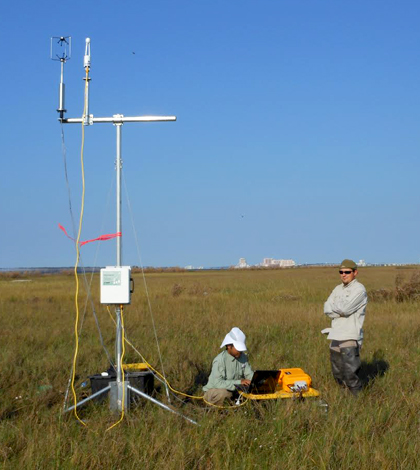
Top image: Researchers deploy a flux tower. (Credit: Mishra Lab / UGA)


0 comments