Posts for tag "NASA"
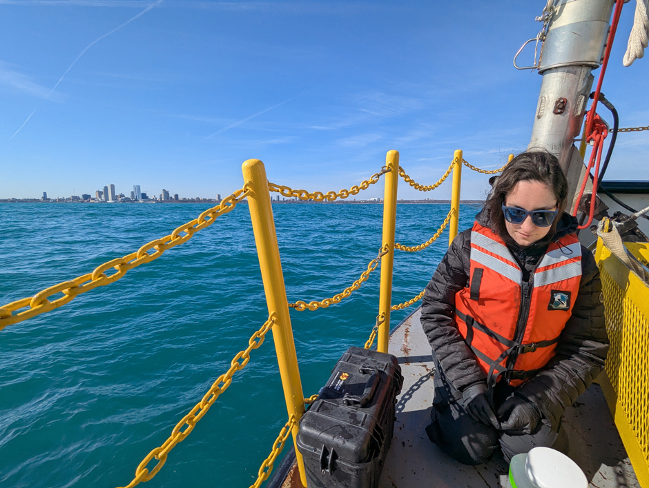
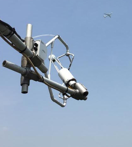
Carbon and Nutrient Monitoring in the Great Lakes Using Satellite Observations
Carbon and nutrients are the foundation of lake food webs and play an important role in the chemical and physical processes that shape aquatic ecosystems and various lake dynamics. Studying these cornerstones can help improve understanding of...
- Posted June 11, 2025
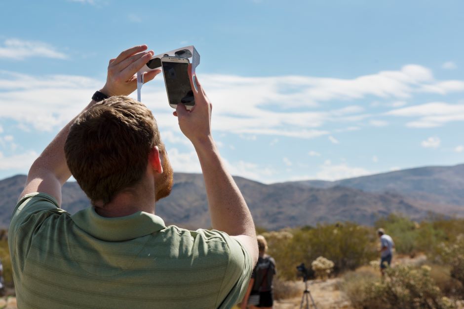

Soundscapes of the Solar Eclipse: Citizen Science Supporting National Research
On April 8, 2024, millions of people around the world had their eyes glued to the sky to witness a historic cosmic event. The total solar eclipse captured the headlines and the minds of many who became...
- Posted May 27, 2024
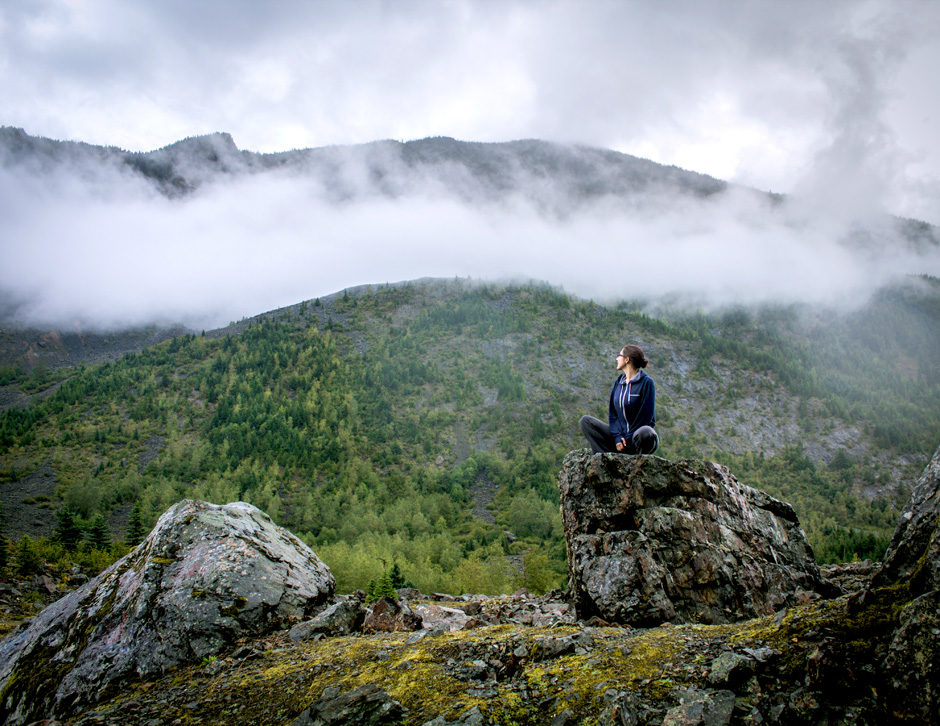

A Conversation with Mika McKinnon, Freelance Scientist
A conversation with Mika McKinnon reveals several interesting ways a scientist is applying their field to help and educate the public.
- Posted July 26, 2019
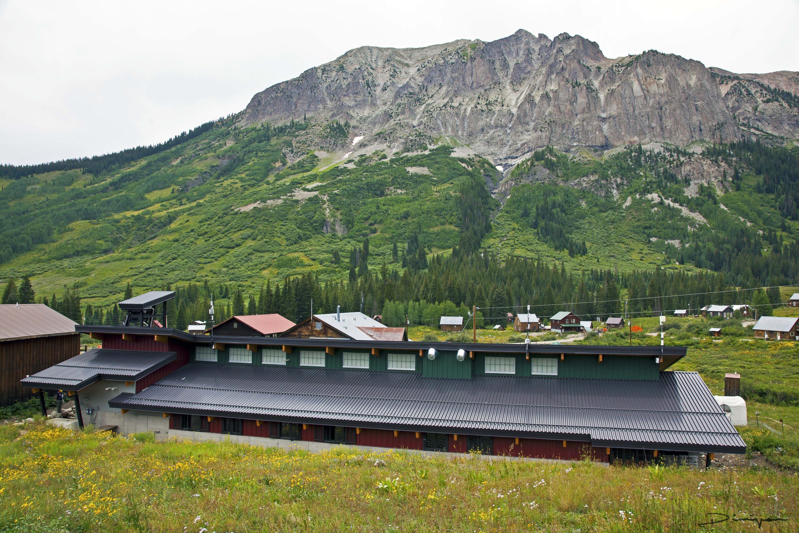

Gothic Rumble: The Rocky Mountain Biological Laboratory
The Rocky Mountain Biological Laboratory has been fostering technological innovation and long-term data collection for over 90 years.
- Posted January 16, 2019

Unprecedented Discovery Leads to Advanced Volcanic CO2 Detection by Satellite
OCO-2 shows it is capable of detecting point sources of CO2, including volcanoes, using advanced spectrometry.
- Posted December 23, 2017

Sulfur Dioxide: Good News For China, Bad News For India
University of Maryland researchers use ground, satellite estimates to show large CO2 reductions for China, increase for India.
- Posted December 22, 2017
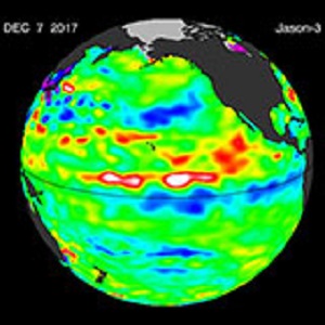

NCAR Model Gives U. of Texas Researchers Advanced Tool for Predicting La Niña Drought Impact
Researchers used NCAR model simulations incorporating sea surface, ocean current and other data to improve La Niña multi-year drought impact predictions.
- Posted December 14, 2017
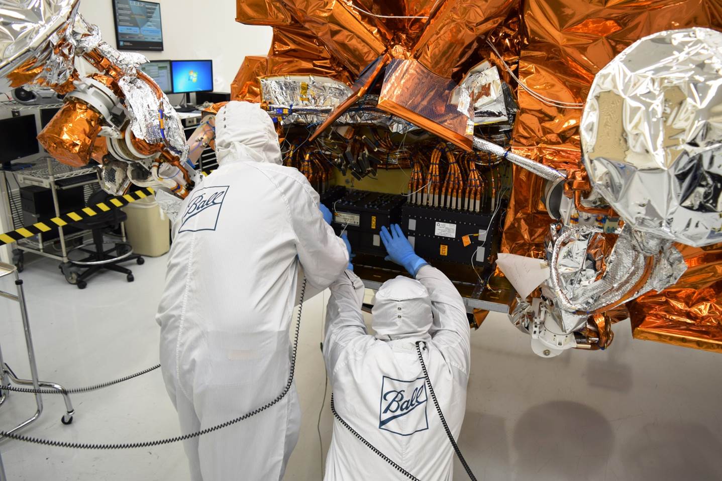

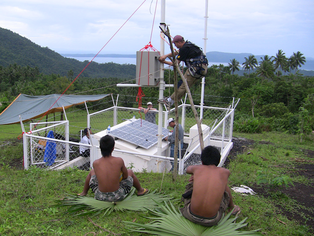
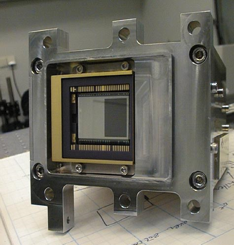
JPSS-1/NOAA-20 Satellite Launches New Era in Environmental Monitoring
NASA and NOAA launch JPSS-1/NOAA-20 satellite capable of accurate seven day weather predictions, monitoring sea ice, volcanic ash, wildfires, algal blooms, and more.
- Posted December 5, 2017
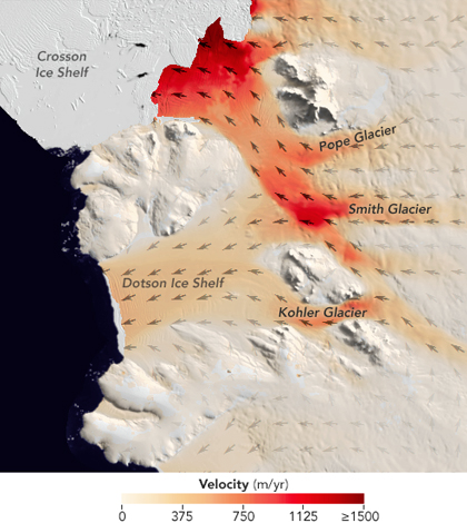

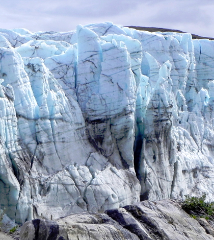
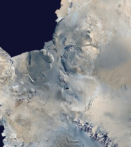
West Antarctica Glaciers Melt At Pace Not Seen Before
Researchers with the University of California, Irvine, and NASA have completed a pair of studies documenting the pace of glacier melt in West Antarctica.
- Posted October 27, 2016
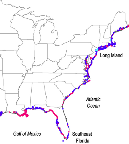
Scientists Document Groundwater And Seawater Mixing On US Coasts
Ohio State and NASA researchers have developed a map of underground drainage systems that connect fresh groundwater and seawater.
- Posted September 2, 2016
Four Corners Methane Hotspot Imaged For First Time
NASA-led scientists use airborne spectrometers and other gear to image the Four Corners methane hotspot in high resolution.
- Posted September 1, 2016

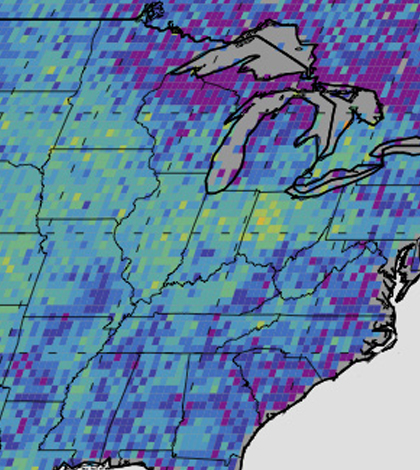
May 2016 Global Temperatures Hottest Ever Recorded
A super El Niño event in 2016 combined with anthropogenic greenhouse gas emissions has so far created the hottest year in over 136 years, NASA scientists believe. Researchers are troubled by the trend, as 2014 and 2015...
- Posted June 28, 2016
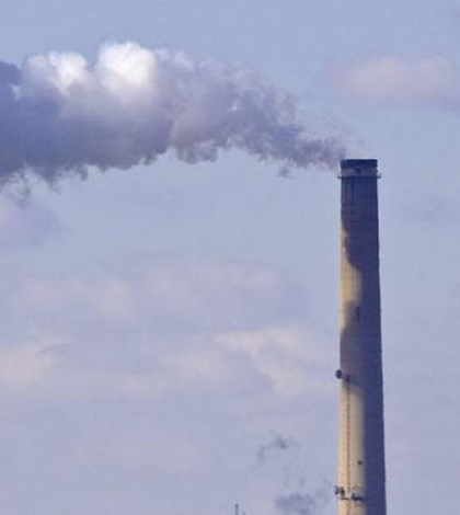
Satellite Images Reveal 39 Unreported Sulfur Dioxide Sources
NASA, Environment and Climate Change Canada and collaborating scientific universities found 2005-2014 satellite images were capable of showing 39 sulfur dioxide sources that were previously unreported. The unreported sources were largely from the Middle East, Mexico and...
- Posted June 16, 2016
Better Remote Air Quality Data With KORUS-AQ
An international team of scientists is conducting research flights across South Korea to assess air quality as part of the KORUS-AQ campaign.
- Posted June 9, 2016
Organic Material, Color Shifts Hinder Gulf Of Maine Productivity
As part of a study funded by NASA, researchers at the Bigelow Laboratory for Ocean Sciences have been sampling the waters of the Gulf of Maine for the last 18 years. Over that time, they have noted...
- Posted May 31, 2016
Seismic Waves Track Greenland’s Ice Melt
MIT researchers have found a new way to monitor changes in Greenland’s ice sheet: seismic waves. The waves occur as the ocean crashes against the ice sheet, creating vibrations that can be detected and measured with high...
- Posted May 25, 2016
NASA’s Coastal Sites Threatened By Rising Seas
NASA owns a lot of properties around the country, amounting to a total value of around $32 billion. These include some famous launch sites like the Kennedy Space Center, which supported some of the Apollo Mission launches,...
- Posted April 15, 2016
Antarctic Ice Sheets Weakened By ‘Upside-Down Rivers’
Antarctic ice sheets are very vulnerable to climate change, scientists say, because they feel its impacts from above and below. Warmer air temperatures come down at them, while warmed ocean waters are creating areas of heated ocean...
- Posted April 12, 2016
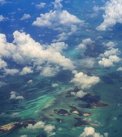
Cloud Cover Data Useful For Estimating Biodiversity
An investigation using NASA MODIS satellite images has showcased the usefulness of cloud cover for estimating biodiversity and habitats.
- Posted April 7, 2016
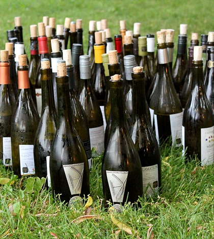
Better Wine With Climate Change?
It’s tough for scientists to find data sets going back far in time to answer some of the questions that they have about climate. But thanks to some creative thinking by a few researchers at NASA and...
- Posted April 4, 2016


