Protecting Streams From Groundwater Withdrawal Effects
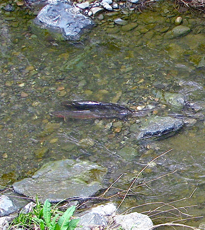
Adult Steelhead trout and redds spawn in Stevens Creek near Mountain View, California. (Credit: Schmiebel via Creative Commons 3.0)
The Water Withdrawal Assessment Tool (WWAT), developed by the Michigan Department of Environmental Quality, is an important tool for predicting the impacts of withdrawing water to streams. It is used throughout the state by environmental organizations concerned with stream health for a variety of reasons.
The Michigan chapter of Trout Unlimited is one example of an organization that uses the WWAT in its work to help the state’s coldwater fisheries and watersheds. But since the assessment tool provides only an estimate of what base flows are, it’s important for volunteers with the organization to test and verify actual measurements from the field before making management decisions.
In the past, Michigan Trout Unlimited team members have relied on Sontek Flow Trackers for making such determinations. But in recent years, they have made a switch to Global Water Flow Probes that provide a somewhat more straightforward method of measurement. This is because they can be deployed directly in a stream and don’t require other accessories such as connecting wires and controller boxes.
“(We measure) baseflow to identify areas where our Water Withdrawal Assessment Tool estimates are greater than measured values,” said Kristin Thomas, aquatic ecologist at Michigan Trout Unlimited. “Areas where there is less water at baseflow than estimated are at risk for impact due to withdrawal. We are trying to identify those areas so we can better protect the associated groundwater.”
Taking these measurements is typically the work of volunteers and interns, Thomas says. The Global Water probes are commonly used in the “Tier 1” assessment of a coldwater stream. If the stream under consideration gets flagged for having a discrepancy of some sort, the next step from there is assessing under the “Tier 2” level. That involves taking discharge measurements using a FlowTracker.
Data collection in either case is a simple process of deploying the tracker in the middle of a stream. From there, it’s a matter of comparing the information gleaned.
“We will compare discharge measurements taken at baseflow with baseflow estimates in the Water Withdrawal Assessment Tool to identify problem areas,” said Thomas.
The results of the comparison dictate what actions are taken next. So for example, a stream with lower discharges than predicted would be flagged for possibly reduced withdrawals in the future so that its groundwater supplies can be protected.
Top image: Adult Steelhead trout and redds spawn in Stevens Creek near Mountain View, California. (Credit: Schmiebel via Creative Commons 3.0)


0 comments