Posts for tag "applications"
“Untuning” Water and What it Could Mean for Water Treatment
New research into “untuning” the water molecule unpacks some of water’s strangest behaviors, and may lead to new treatment technologies.
- Posted May 9, 2018
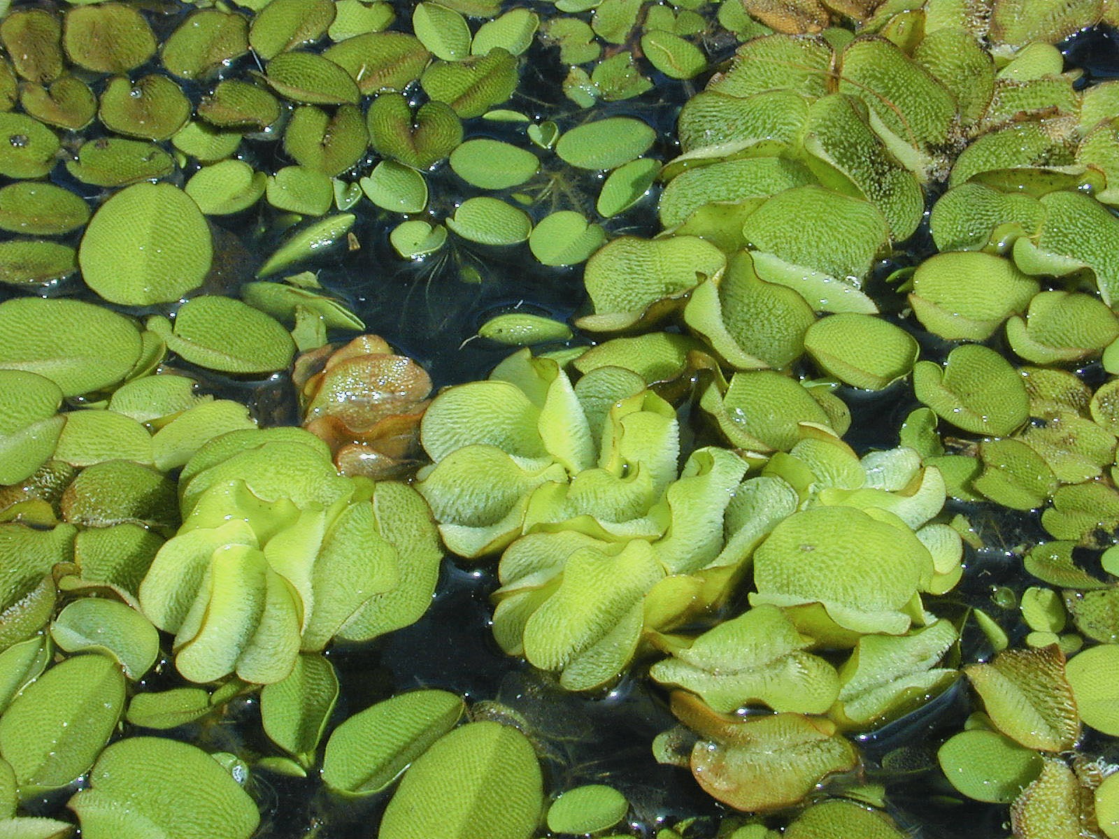

Cleaning Oil Spills with Materials Inspired By the Salvinia Effect
A new material inspired by the Salvinia plant may offer new hope for cleaning up oil spills and other superhydrophobic applications.
- Posted April 26, 2018
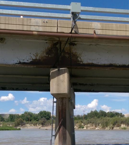

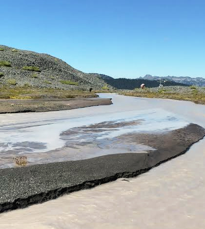
Real-Time Bridge Scour Tracked In Western Colorado
Experts with the U.S. Geological Survey use sonar depth sensors to track bridge scour in real time at two western Colorado bridges.
- Posted October 4, 2016
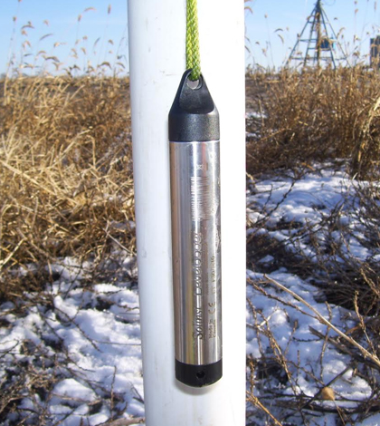
Network Of Water Level Sensors Ups Groundwater Management, Understanding
Tritium, Inc. oversees a network of water level sensors in northern Indiana and southwest Michigan to inform groundwater management and understanding.
- Posted September 13, 2016
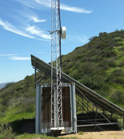
Predicting Wildfire Movement With Multiparameter Weather Sensors
A network of multiparameter weather sensors in California helps keep the Sunrise Powerlink clean energy line safe from California wildfires.
- Posted September 9, 2016
Tracking Discharge From A Confined Disposal Facility
Tetra Tech engineers use a cellular data logger and YSI EXO2 in tracking discharge from a confined disposal facility during a New Jersey dredging project.
- Posted August 29, 2016
Managing Soil Erosion Important Around Construction Sites
Experts at Scott Thorne Environmental Consulting track soil erosion with a Hach 2100Q turbidity meter around California construction sites.
- Posted July 29, 2016
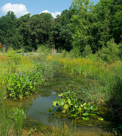
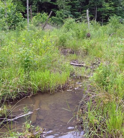
Level Data Key For Restoration Projects, Stormwater Management
RK&K engineers use In-Situ water level and barometric pressure loggers to monitor wetland restoration projects and in stormwater management.
- Posted July 28, 2016
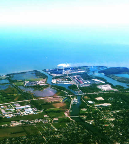
Drinking Water: Tracking Fluoride Key For Michigan Water Plant
Operators of the Monroe, Mich., water plant track fluoride levels of drinking water withdrawn from Lake Erie before and after treatment.
- Posted July 6, 2016
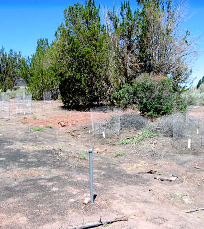
Groundwater Monitoring And More During Heiser Spring Restoration
Managers with the National Park Service monitored groundwater while finishing the Heiser Spring area’s restoration near Wupatki National Monument.
- Posted May 19, 2016
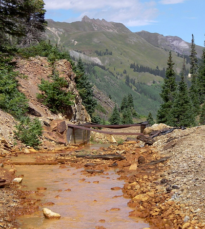
Experts At Axis Geochemical Monitor Near Mining Operations
Consultants at Axis Geochemical use a Hach DR900 Handheld Colorimeter around mining operations to track redox and conduct geochemical modeling.
- Posted May 11, 2016
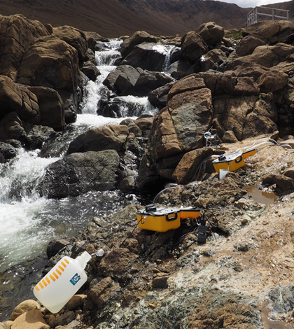
University Of Utah Scientists Study Microbial Lifeforms In High pH Springs
University of Utah scientists study microbial lifeforms in Canada’s Gros Morne National Park with a YSI Pro Plus water quality meter and a flow cell.
- Posted April 29, 2016
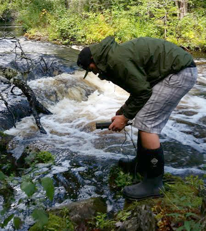
In Nooksack Watershed, Tracking Sediments Key For Salmon
Resource managers with the Nooksack Indian Tribe tackle sediment loads and turbidity in streams throughout Washington’s Nooksack Watershed.
- Posted April 14, 2016
U. Of Louisville Scientists Assess Stream Restoration Methods
Scientists at University of Louisville’s Stream Institute study streams throughout Kentucky to inform assessments of stream restoration success.
- Posted April 13, 2016
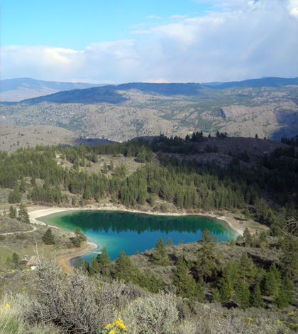
Instrumenting Castor, Scanlon Lake May Help Sediment Core Analysis
U. of Minnesota researchers study two lakes in Washington state to uncover insights that could improve sediment core interpretation in the future.
- Posted April 11, 2016
Depth An Important Parameter For USGS Researchers In California
U.S. Geological Survey scientists use an Airmar EchoRange SS510 Smart Sonar Depth Sensor for navigation, high-speed mapping and residence-time calculations.
- Posted April 6, 2016
Penobscot Indian Nation Safeguards Tribal Waterways
Resource managers with Penobscot Indian Nation keep a careful eye on their waterways with help from a Thermo Orion Star portable pH meter and other gear.
- Posted March 24, 2016
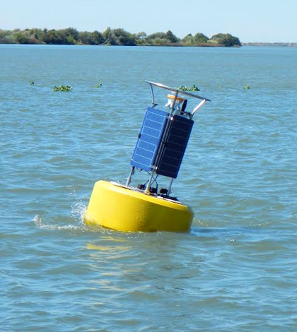
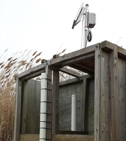
Buoy Data Gauge Liberty Island Restoration Project’s Progress
U.S. Geological Survey scientists use a network of monitors, aided by a NexSens CB-950 Data Buoy, to gauge the Liberty Island Restoration Project’s success.
- Posted March 16, 2016
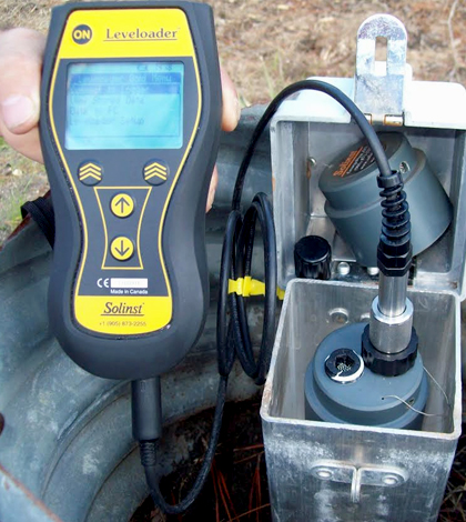
Gauging Floridan Aquifer Groundwater, New Source For Titusville, Florida
The City of Titusville, Florida, uses Solinst Leveloggers to keep tabs on the Floridan aquifer, recently tapped to supplement the city’s water supply.
- Posted March 11, 2016
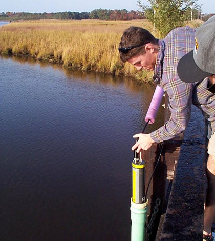
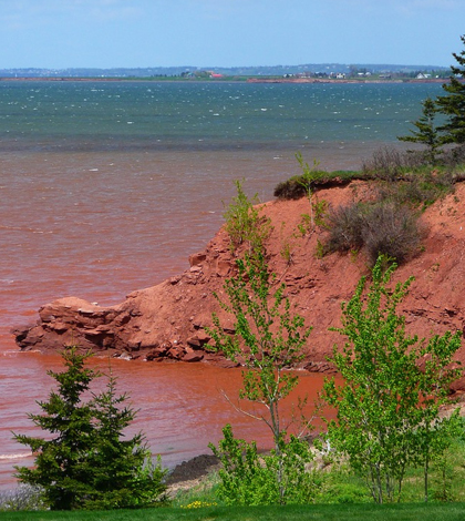
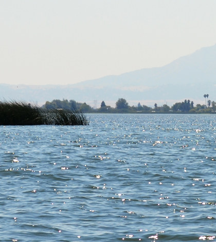
Studying Chesapeake Bay Shallows To Preserve Key Habitats
Managers with the Maryland Department of Natural Resources use cellular data loggers and water quality sondes to dissect Chesapeake Bay shallows.
- Posted March 10, 2016


