
Yukon expands stream monitoring network ahead of energy exploration
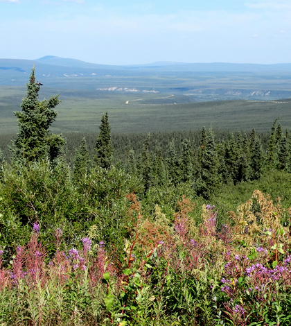
A view from Dempster Highway along the Eagle Plain region of Yukon (Credit: Adam Jones, via Flickr)
The Yukon, a Canadian territory whose name aptly means “big river” in the indigenous Gwich’in language, has long been valued for its wide expanses of untouched wilderness — and for the wealth of precious minerals hidden beneath its surface.
Recently, energy companies have taken an interest in the territory as a potential source of oil and gas. As energy exploration in the Yukon begins, the territorial government is taking measures to ensure the quality of the territory’s water system.
The Yukon government has installed three new hydrometric stations in the territory’s Eagle Plain region. The stations will monitor the health of Glacier Creek, Dalglish Creek and McParlon Creek, providing environmental officials with data on streamflow, surface and groundwater levels. A fourth station is planned for installation at Eagle River this fiscal year.
“The federal government has scaled back its water monitoring, thus [the Yukon government] has, to a certain extent, to pick up the slack,” said Sebastian Jones, co-energy coordinator at the Yukon Conservation Society. “Yukon is considering the risks and benefits of hydraulic fracturing, water being a major component.”
The Yukon Conservation Society is a non-profit organization that advocates ecosystem protection throughout the territory. Since its founding in 1968, the grassroots organization has played an influential role in the Yukon’s environmental policy.
The hydrometric stations form a network with 2,000 other monitoring stations across Canada, CBC News reported. Including the new stations, 64 monitoring stations lay in the Yukon, taking measurements on hydrology, snowpack and aquatic organisms, among other variables. In addition to streamflow and water level sensors, each hydrometric station is fitted with an Onset TidbiT v2 Temperature Logger.The data from the stations can be accessed at the Yukon government’s YukonWater website.
")
The three monitoring stations, and a planned fourth, join 2,000 other monitoring stations across Canada. (Credit: Yukon Conservation Society)
Various agencies within the Yukon government are responsible for monitoring the data, namely the Department of Environment. However, the Department of Energy, Mines and Resources handles hydrometric data specifically pertaining to mining and oil acquisition, Jones said.
The Yukon Conservation Society is concerned with the operations of companies such as Northern Cross, which are probing the Yukon for oil and natural gas. Jones listed a number of potential issues, including “impact on caribou, habitat fragmentation, methane releases, permafrost integrity, potential for opening the door to hydraulic fracturing,” and “increased road traffic.”
When oil and gas companies seek to explore or develop land in Yukon, they must first obtain a water license from the government. Licensing requires two years of quantitative and qualitative hydrometric data to be gathered for any potentially affected body of water.
While the quantitative requirements are clearly defined, the qualitative metrics are vague. The Yukon Conservation Society, Jones said, has requested “that receiving waters be further assessed for the background levels of the substances used in the operation, which in the case of hydraulic fracturing is extensive.”
Jones noted that the Yukon Conservation Society is attempting to form a workshop in collaboration with the Yukon government, for the purpose of establishing baseline water monitoring protocols.
Top image: A view from Dempster Highway along the Eagle Plain region of Yukon (Credit: Adam Jones, via Flickr)


0 comments