
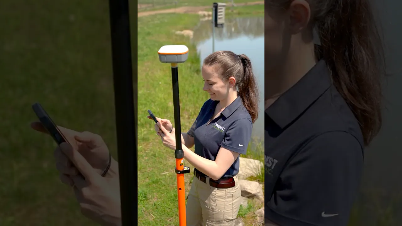
Geode RTK GNSS Receiver Rental
L1/L2/L5 GNSS Receiver with RTK Activation
Starting At $160.00
Stock Check Availability
Fondriest Exclusives
- Expedited repair and warranty service
- Lifetime technical support
- More
Key Features
- Intuitive and easy operation, one-button simplicity
- 100% Android, iOS, Windows compatible
- ~1cm accuracy when connected to RTK network
- (1) Geode RTK receiver with integrated antenna and battery
- (1) USB Type-C to USB Type-C cable
- (1) 5/8 x 11 pole mount adapter
- (1) USB charger
Questions & Answers
Select Options
Products
0 Item Selected
Image
Part #
Product Description
Price
Stock
Select

GEODE-RTK-D
Rental of Juniper Geode GNS3M multi-frequency GNSS receiver with RTK activation, priced per day
$160.00
Check Availability
$160.00

GEODE-RTK-2D
Rental of Juniper Geode GNS3M multi-frequency GNSS receiver with RTK activation, priced per 2-day period
$256.00
Check Availability
$256.00

GEODE-RTK-W
Rental of Juniper Geode GNS3M multi-frequency GNSS receiver with RTK activation, priced per week
$448.00
Check Availability
$448.00

GEODE-RTK-2W
Rental of Juniper Geode GNS3M multi-frequency GNSS receiver with RTK activation, priced per 2-week period
$672.00
Check Availability
$672.00

GEODE-RTK-M
Rental of Juniper Geode GNS3M multi-frequency GNSS receiver with RTK activation, priced per month
$959.00
Check Availability
$959.00
Notice: At least 1 product is not available to purchase online
PRODUCT VIDEOS

Related Products


Customer Stories


