Caring for the Chesapeake: Supporting the Iconic Bay Starts with Good Monitoring Data
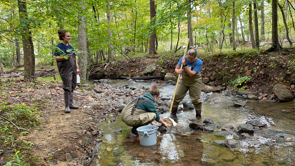 The CMC team conducting benthic macroinvertebrate monitoring at a small stream near Berkeley Springs, WV (Credit: Chesapeake Monitoring Cooperative)
The Chesapeake Bay is enormous: the Bay and its tidal tributaries have 11,684 miles of shoreline—more than the entire U.S. west coast. It is the largest of more than 100 estuaries in the United States and the third largest in the world. The Bay itself is about 200 miles long, stretching from Havre de Grace, Maryland, to Virginia Beach, Virginia.
But the Chesapeake Bay isn’t just enormous–it’s enormously important. The Chesapeake Bay Program reports that its watershed covers about 64,000 square miles and is home to more than 18 million people, 10 million of whom live along or near the Bay’s shores.
The Bay supports over 3,600 species of plants and animals, including 348 species of finfish, 173 species of shellfish, over 2,700 plant species and more than 16 species of underwater grasses. Not only that, the Bay produces about 500 million pounds of seafood per year.
Monitoring the Chesapeake Bay
An area as large and important as the Chesapeake Bay requires a lot of data to track, understand, and maintain its health. That is where Dave Parrish and Liz Chudoba come in. Parrish works as the Environmental Data Center Manager at the Chesapeake Bay National Estuarine Research Reserve in Virginia (CBNERR-VA) and the Virginia Institute of Marine Science (VIMS).
Chudoba is the Water Quality Monitoring Initiative Director at The Alliance for the Chesapeake Bay, where she manages the Alliance’s water quality monitoring projects, including the Chesapeake Monitoring Cooperative (CMC).
Parrish’s interest in monitoring dates back to graduate school, where he studied resource management. After graduate school, he began working at VIMS in the water quality monitoring program conducted by CBNERR-VA. While approaching the Bay from a data perspective, Parrish says, “I fell in love with the Bay and water quality due to its intersection between science, data, and the natural world.”
Chudoba’s background, on the other hand, comes from the perspective of both science and policy, having a master’s degree in marine science and environmental law and policy.
Chudoba states, “My job involves both degrees. I facilitate the collection of scientific data through our projects like RiverTrends, and work with partners to bring together volunteer-collected data across the watershed into a centralized place through the CMC, which enables broader scale use at the local, state and federal levels.”
Completing Data with Public Outreach
The CMC was formed in 2015 by the Chesapeake Bay Program (CBP) with the goal of integrating volunteer and community-based monitoring data into the Chesapeake Bay Program partnership.
As Chudoba says, “Although the CBP has a tidal and nontidal monitoring network that covers a large portion of the watershed, significant spatial and temporal gaps exist in the network with some compromise due to site access. Volunteer data, on the other hand, tends to focus on smaller tributaries and headwaters (what’s coming into the Bay) where some of the largest data gaps exist and includes additional sampling locations on private property.”
Chudoba suggests, “Putting these two datasets together can give us a more complete picture of the Bay.”
The CMC is comprised of a network of volunteer and community-based monitoring groups collecting benthic macroinvertebrate data and many chemical, physical and biological water quality indicators. All data are organized into three tiers, using the CMC’s Tiered Framework in order to make data comparable across the watershed regardless of what specific equipment is used to take a measurement.
All data can be accessed online through the Chesapeake Data Explorer, which offers a homepage to visualize data and a query feature to download data and associated metadata. The Data Explorer is a robust data management tool, which provides a unifying structure to the diverse monitoring groups working across the watershed by qualifying data based on the parameter, tier, and equipment used.
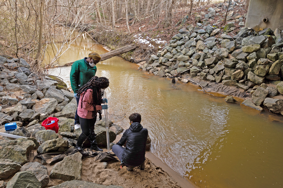
Alliance for the Chesapeake Bay leads a training session for students at Bowie State University along Horsepen Branch, a tributary of the Patuxent River (Credit: Will Parsons / Chesapeake Bay Program)
Parrish explains, “Our database has over 200 parameters. Each parameter has unique identifiers that document the methodologies used to collect each measurement. For example, we have 15 different methods for monitoring pH documented in the database.”
This system creates flexibility for each group to collect data through methods that meet their individual goals while maintaining a consistent structure to make it easy for end users to utilize the data.
With over 650,000 water quality samples in the Data Explorer, and some datasets dating back to the 90s, there is great potential to utilize the data to identify data trends.
In 2020, the CMC partnered with Booz Allen Hamilton to host a hack-a-thon called Hack the Bay. The event was divided into four challenges; each challenge tackled a different question about Bay health, and data scientists came together to create open-source tools to answer those questions.
While this experience did not yield groundbreaking results, it was the first time volunteer data was utilized together on a regional scale and opened the door to additional analyses. “Now we have an idea of the data potential and can continue to build on that in the future,” Chudoba adds.
Conclusion
In the future, having high-quality, plentiful data will only become more important as researchers, policymakers, and the general public hope to assess and protect the Chesapeake Bay and its watershed properly.
As Parrish says, “The data gathered through the CMC helps fill gaps in our understanding of the Bay. By centralizing community science monitoring efforts, documenting the sampling methodologies, and making these data accessible to a variety of data users, we can increase public engagement, help inform management decisions, and contribute to the science needed to better understand the issues that surround the Chesapeake Bay and its habitats.”
Chudoba adds, “We need all the data we can get to move forward and assess our progress towards Bay restoration goals.”


0 comments