Mapping tool helps Pennsylvania farmers meet environmental requirements
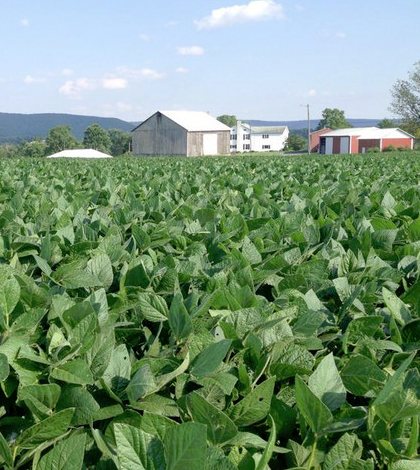
PAOneStop is an online system to help farmers reduce impacts on the environment. (Credit: Reidar Jensen)
A popular online system created by Penn State Extension has helped more than 3,300 farmers map farms and fields across Pennsylvania, according to a release from Penn State University. The online tool is meant to help farmers in the state reduce environmental impacts that their farms have on Chesapeake Bay and other ecosystems.
The online tool is called PAOneStop and was built with support from Pennsylvania’s State Conservation Commission and its Agriculture and Environmental Protection Departments.
“The importance of the online system is two-fold,” said Rick Day, associate professor of soil science and environmental information systems at Penn State and creator of PAOneStop, in a statement. “One goal is to support the environment through initiatives like the federal Clean Streams Act and Pennsylvania’s Clean Streams Law, and the other is to make it easier and less expensive for farmers to meet these complex regulations.”
The system saves farmers in the state a lot of money that they would otherwise have to pay to have private surveys done. PAOneStop lets them generate high-quality maps that they’re required to submit to state regulators as parts of nutrient balance sheets, management plans or soil erosion predictions.
Top image: PAOneStop is an online system to help farmers reduce impacts on the environment. (Credit: Reidar Jensen)
One Comment
Leave a Reply


Philz Landscaping & Contracting LLC
July 7, 2023 at 4:26 AM
The cost-saving feature of generating required maps is impressive. This collaborative effort reflects a strong commitment to sustainability and stewardship. Appreciate this valuable information on PAOneStop’s positive impact!