
Solinst Sonic Water Level Meter
- Free ground shipping
- Expedited repair and warranty service
- Lifetime technical support
- More
- Accurately measure water levels down to 600m (2000 ft.)
- Works in any closed pipe, straight or angled
- Supplied with a plastic cover/disk for larger wells and a convenient field bag
Overview
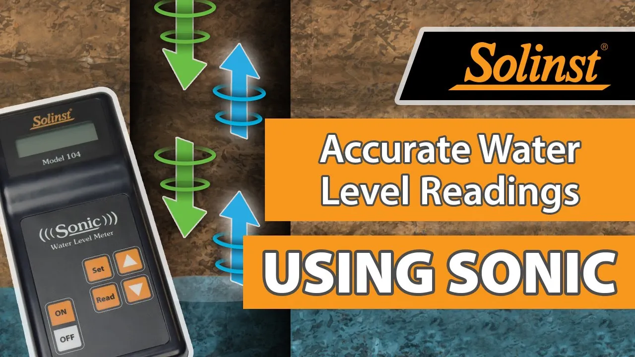
The Solinst Sonic Water Level Meter is a portable, acoustic ranging instrument designed to simply and quickly measure depth to static water level in a well, piezometer, sounding tube, or any closed pipe. The Sonic Water Level Meter reports static water level measurements without having to put any instruments down the well, eliminating any introduction of chemicals and the need to decontaminate equipment or wells. The Solinst Sonic Water Level Meter works in straight or crooked pipes, and is ideal for wells with difficult access. Depth measurements to 600 m (2000 ft) are possible.
Installation
The Solinst Sonic Water Level Meter consists of a Control Unit and connected Probe. The Control Unit has a clear LCD display, keypad, and comes with 6 AA replaceable batteries. The Control Unit keypad has buttons to turn the Probe on and off, read the depth to water, and controls to scroll through and set other parameters. The Probe connects to the Control Unit with a 1.8 m (6 ft) cable. The Sonic Water Level Meter Probe is designed to sit in the vent opening of a standard well cap, or the opening in a Solinst 2" Locking Well Cap.
- Control Unit Dimensions: 19 x 9 x 4 cm (3.5 x 7.5 x 1.5")
- Control Unit Weight: 390 g (14 oz)
- Probe Dimensions: 16 x 8 x 7 cm (6 x 3 x 3")
- Probe Diameter: 1.7 cm (5/8")
- Cable Length: 1.8 m (6 ft)
- Operating Temperature: -20 to 45ºC (-10 to 110ºF)
- Power: 6 AA replaceable alkaline batteries
- Battery Life: Up to 500 hours of use; Up to 21 days in power save mode
- Units of Measurement: Metric or English options
- Accuracy: 3 cm (0.1 ft)
- Resolution: 1 cm (0.05 ft)
- Water Level Reading Update Time: ~ 1 sec @ 150 m (500 ft); ~ 4 sec @ 600 m (2000 ft)
- Operating Range: 3 to 600 m (9 to 2000 ft)
- (1) Sonic water level meter readout
- (1) Sonic water level meter probe
- (1) Plastic disk for larger wells
- (1) Field bag
- Accurately measure water levels down to 600m (2000 ft.)
- Works in any closed pipe, straight or angled
- Supplied with a plastic cover/disk for larger wells and a convenient field bag
Overview
The Solinst Sonic Water Level Meter is a portable, acoustic ranging instrument designed to simply and quickly measure depth to static water level in a well, piezometer, sounding tube, or any closed pipe. The Sonic Water Level Meter reports static water level measurements without having to put any instruments down the well, eliminating any introduction of chemicals and the need to decontaminate equipment or wells. The Solinst Sonic Water Level Meter works in straight or crooked pipes, and is ideal for wells with difficult access. Depth measurements to 600 m (2000 ft) are possible.
Installation
The Solinst Sonic Water Level Meter consists of a Control Unit and connected Probe. The Control Unit has a clear LCD display, keypad, and comes with 6 AA replaceable batteries. The Control Unit keypad has buttons to turn the Probe on and off, read the depth to water, and controls to scroll through and set other parameters. The Probe connects to the Control Unit with a 1.8 m (6 ft) cable. The Sonic Water Level Meter Probe is designed to sit in the vent opening of a standard well cap, or the opening in a Solinst 2" Locking Well Cap.
- Control Unit Dimensions: 19 x 9 x 4 cm (3.5 x 7.5 x 1.5")
- Control Unit Weight: 390 g (14 oz)
- Probe Dimensions: 16 x 8 x 7 cm (6 x 3 x 3")
- Probe Diameter: 1.7 cm (5/8")
- Cable Length: 1.8 m (6 ft)
- Operating Temperature: -20 to 45ºC (-10 to 110ºF)
- Power: 6 AA replaceable alkaline batteries
- Battery Life: Up to 500 hours of use; Up to 21 days in power save mode
- Units of Measurement: Metric or English options
- Accuracy: 3 cm (0.1 ft)
- Resolution: 1 cm (0.05 ft)
- Water Level Reading Update Time: ~ 1 sec @ 150 m (500 ft); ~ 4 sec @ 600 m (2000 ft)
- Operating Range: 3 to 600 m (9 to 2000 ft)
- (1) Sonic water level meter readout
- (1) Sonic water level meter probe
- (1) Plastic disk for larger wells
- (1) Field bag
Select Options


PRODUCT VIDEOS


Customer Stories


