
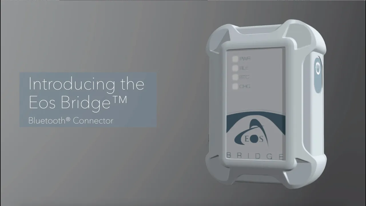
Eos Bridge Bluetooth Connector
The Eos Bridge is a palm-sized Bluetooth connector that makes any third-party instrument Bluetooth compatible with iOS, Android or Windows devices.
- Free ground shipping
- Expedited repair and warranty service
- Lifetime technical support
- More
- Transforms legacy Bluetooth instruments into iOS-compatible devices
- Converts non-Bluetooth instruments into iOS-compatible devices via serial port
- Rechargeable Li-Ion battery using standard USB connection
The Eos Bridge is a palm-sized Bluetooth connector that makes any third-party instrument or sensor, such as a laser rangefinder, Bluetooth compatible with iOS, Android or Windows devices. This allows you to combine the power of survey-grade mapping from Arrow Series GNSS receivers, GIS apps and professional measurements from third-party instruments and sensors.
Convenient, Portable and Rugged
With its long-lasting battery, the Eos Bridge delivers days of continuous use on a single charge. And thanks to its lightweight design, the Eos Bridge can easily be stored in a pocket, clipped to a belt, or attached directly to any instrument. The Eos Bridge is also rugged and waterproof, so you can confidently take it to the harshest environments.
Connect with Legacy-Bluetooth Instruments
Have you ever wished your existing laser rangefinder, utility locator — or any other sensor — would automatically send data to your mobile mapping solution? The days of wishing are over. With the Eos Bridge, simply pair any legacy instrument to your iOS device (while connected to an Arrow GNSS receiver), and the Eos Bridge takes care of the rest. Measurements from your professional instruments will flow directly to iOS, where you can capture them in a GIS app with high-accuracy locations from your Arrow GNSS receiver.
Connect with Serial Port
No legacy Bluetooth module? No problem. Instruments and sensors can also connect to the Eos Bridge via a serial port to achieve the same results. Choose this option to use the Eos Bridge with not only iOS devices, but also Android and Windows smartphones and tablets.
- Eos Bridge
- Integrated Li-Ion Battery
- USB Charger
- Belt Clip
- Strap Loop
Select Options

PRODUCT VIDEOS

Customer Stories


