Choptank River watershed nitrate monitoring targets conservation efforts
A nutrient monitoring effort throughout a degraded Chesapeake Bay watershed is helping chart the path of nitrate through the system. The monitoring is part of a plan to target federally funded agricultural conservation practices to the places in the watershed that need them most.
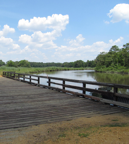
The Choptank River is among one of the largest tributaries to the Chesapeake Bay, a system plagued by excess nutrients. The Choptank flows across the Delmarva Peninsula, a 170-mile-long piece of land that makes up the bay’s eastern shore.
More than half of the Choptank’s watershed is covered in agricultural land, which is part of the reason the river has been listed as impaired under Clean Water Act standards for nutrients and sediment.
The Choptank’s nutrient issues and the efforts to mitigate them have garnered the system a spot on the U.S. Department of Agriculture’s Conservation Effects Assessment Project. That’s a program to scientifically quantify the water quality impacts brought about by the agency’s conservation programs that help farmers to reduce nutrient and sediment runoff.
Part of the effort to assess the effectiveness of conservation programs involves a nitrate monitoring initiative across the watershed that aims to try and figure out which areas are more prone to exporting nitrate, according to Greg McCarty, a soil scientist with the USDA-ARS Hydrology & Remote Sensing Laboratory.
“If you can determine which landscapes are more susceptible to leaking nitrate, then you can focus your efforts on those and maybe put less effort on landscapes that don’t export as much nitrate,” McCarty said. “That’s the rationale for doing this type of analysis.”
McCarty has instrumented two stream sites in the headwaters of the Choptank system with real-time nitrate sensors from Austrian manufacturer S::CAN. Nitrate detection is based on ultra violet absorption features of nitrate in solution. The S::CAN instrument measures the optical spectra from 220 to 720 nm in liquid media.
")
The enclosure houses the nitrate sensor, flow cell, peristaltic pump, compressed gas for sensor cleaning and a control board. Click for a labeled version. (Credit: Greg McCarty)
One of the nitrate sensors sits near the town of Greensboro, Md., high up on the main stem of the Choptank. The other is near Ruthsburg on Tuckahoe Creek. Each sensor is installed near a U.S. Geological Survey streamflow gauge. By pairing the continuous nitrate measurements from the sensor with flow data from the gauge how concentrations change with high storm flows.
Instead of installing the nitrate sensors directly in the stream channel, McCarty has opted for a approach that stores the instrument in a secure housing next to the stream. The housing also holds a peristaltic pump that draws a sample into a flow cell for a nitrate reading every 30 minutes. McCarty said this means the measurements are taken in a more controlled environment, and the instruments are protected from the dynamic storm events–including the occasional hurricane–that affect the region.
It also keeps the equipment out of sight of curious vandals.
“It gets the instruments out of sight so there is nothing to attract someone’s attention,” McCarty said. “It’s a little bit more complicated because you have to automate it, but it wasn’t too bad to get it set up properly.”
In addition to the two subwatersheds with continuous nitrate and streamflow data, the USDA is measuring nitrate and an herbicide metabolite in another 15 subwatersheds. The herbicide metabolite, called MESA, has been shown to be an effective tracer of agriculture runoff. The ratio of nitrate concentrations to MESA concentrations can also give an indication of what role the landscape is playing in removing nitrate from runoff.
“That gives us a little more statistical power to try to pull apart what’s driving the export of nitrate,” McCarty said. “The concept is to try to determine what’s driving the amount of nitrate that’s being exported. If we know the cause, then we can more effectively adjust our management to the landscape to try and minimize it.”
Image: The Choptank River (Credit: Doug Kerr, via Flickr)


0 comments