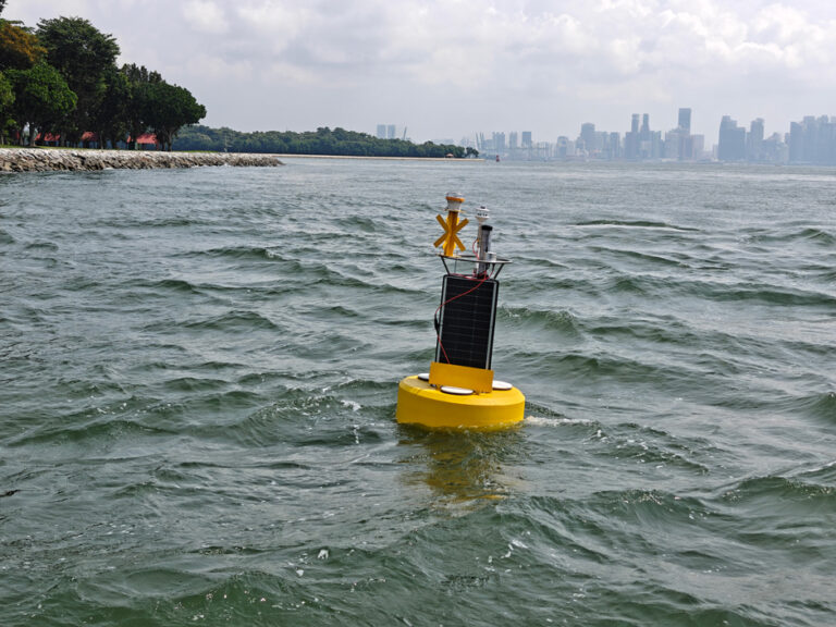
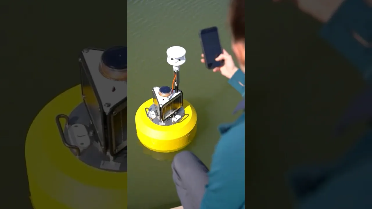
Gill MaxiMet Marine Weather Stations
The MaxiMet Marine Compact Sensors combine IP68 environmental protection with high quality sensors for deployment on data buoys and in other marine environments.
Starting At $2,215.00
Stock SEE TABLE BELOW
Fondriest Exclusives
- Free ground shipping
- Expedited repair and warranty service
- Lifetime technical support
- More
Key Features
- IP68 rating for protection from temporary submersion
- 6-axis compass compensates for tilt and provides pitch & roll data
- Optional GPS provides location and calculates true wind on moving platforms
MaxiMet Marine Key Features:
- Provides 5 measured parameters: Wind speed & direction, temperature, humidity, pressure, optional heating, optional GPS function
- IP68 and IP66 environmental protection
- 6-axis compass
- High quality, accurate, solid-state sensors
- Compact design with robust construction
- Multiple additional derived parameters
- Optional integrated GPS capability available to provide location, GPS timestamp and calculation of true wind if the platform is moving
- Commonly available connector suitable for corrosive environment
- Optional low power heating
Questions & Answers
Select Options
Products
0 Item Selected
Image
Part #
Product Description
Price
Stock
Select

1957-0260-60-000
MaxiMet Marine GMX260 Weather Station, wind & compass, includes M12 mating connector
$2,215.00
Check Availability
$2,215.00

1957-0260-60-100
MaxiMet Marine GMX260 Weather Station, wind, compass & GPS, includes M12 mating connector
$2,508.00
1 Available
$2,508.00

1957-0560-60-000
MaxiMet Marine GMX560 Weather Station, air temperature, humidity, pressure, wind & compass, includes M12 mating connector
$2,847.00
Check Availability
$2,847.00

1957-0560-60-001
MaxiMet Marine GMX560 Weather Station with heating, air temperature, humidity, pressure, wind & compass, includes M12 mating connector
$2,977.00
Check Availability
$2,977.00

1957-0560-60-100
MaxiMet Marine GMX560 Weather Station, air temperature, humidity, pressure, wind, compass & GPS, includes M12 mating connector
$3,145.00
3 Available
$3,145.00

1957-0560-60-101
MaxiMet Marine GMX560 Weather Station with heating, air temperature, humidity, pressure, wind, compass & GPS, includes M12 mating connector
$3,271.00
Check Availability
$3,271.00
Accessories
0 Item Selected


Notice: At least 1 product is not available to purchase online
PRODUCT VIDEOS

Related Products


Customer Stories