How the Ohio EPA Uses Water Quality Data to Monitor Change in State Waterways
Millions of Ohioans are reliant on freshwater resources for drinking water and recreation. Therefore, protecting the health of these water bodies is a leading concern for regulatory groups like the Ohio Environmental Protection Agency (EPA).
A key part of protecting the state’s freshwaters is monitoring water quality and identifying improvements in water health over time. Ohio EPA’s Division of Surface Water is responsible for monitoring these water bodies, including thousands of miles of inland streams, rivers, smaller lakes, and even Lake Erie.
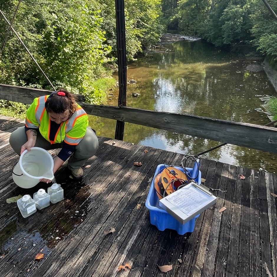
Ohio EPA intern, Rachel Obler, collects inorganic water chemistry samples from Whetstone Creek near Mount Gilead, OH for the 2024 Upper Scioto River and Olentangy River watershed survey. (Credit: Ohio EPA)
Documenting Change and Improvements in Ohio’s Waterways
Many of these sources are protected by the Clean Water Act (CWA), which was passed in 1972, in hopes of protecting and preserving water resources. Thanks to policies like the CWA, waterways in the state have experienced improvements over time.
Part of the goal of the Division of Surface Water’s monitoring efforts is to quantify this progress and document improvement in water quality resulting from the CWA and other policies, as well as the work of local environmental groups.
Lauren Woodgeard, Ohio EPA Division of Surface Water, Environmental Specialist II, shares that the division uses a combination of water quality instruments to measure water quality in lakes, rivers, and streams, including the YSI EXO1 and EXO2 multiparameter sondes, as well as the YSI ProDSS.
In addition to providing water quality measurements, Woodgeard shares that the division provides technical assistance to wastewater treatment plants, partners with other agencies and local communities, encourages best pollution prevention practices, and oversees many other environmental initiatives.
“We are continually working to improve the water quality and also to make sure to maintain the health of the streams,” explains Woodgeard.
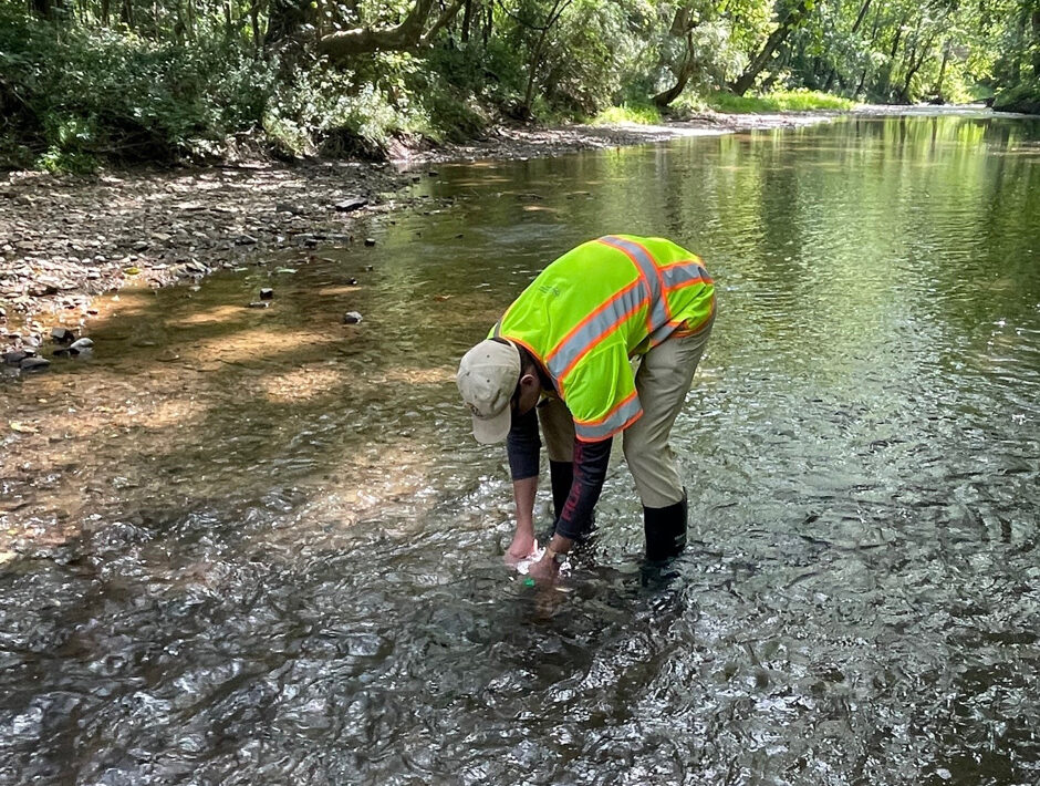
Ohio EPA intern, Joel Steinbicker, collects a water sample from the Rocky Fork Licking River near Hanover, OH, for the 2025 Licking River watershed survey. (Credit: Ohio EPA)
Covering Miles of Inland Waters
With such a large area to cover with spot sampling, Woodgeard shares that the Division carefully considers where they will focus efforts each year.
“Each summer, we optimize our resources by carefully deciding where we need to focus our monitoring and determine which sites offer the best ‘bang for our buck’” explains Woodgeard.
She continues, “We would like to sample as much as we can all over the state but can only cover so much with limited time and manpower during a summer.”
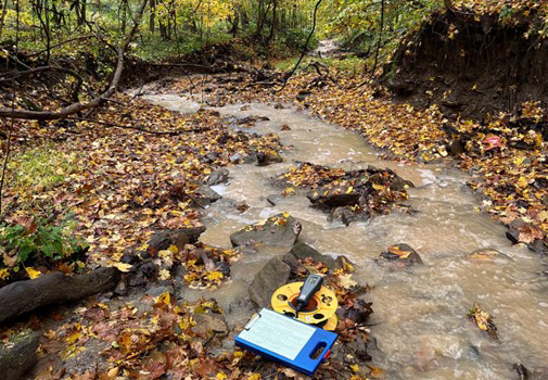
YSI ProDSS taking instantaneous field readings. (Credit: Ohio EPA)
In addition to determining which sites get the most focus, Woodgeard explains that they must also take into account the surrounding land use, public drinking water intakes, geography, and the size of the drainage area when deciding what parameters they will sample for.
Some of the common parameters include dissolved oxygen in mg/L and saturation, pH, specific conductance, and temperature.
In addition to the spot sampling with the water quality instruments, Woodgeard collects grab samples for chemical analysis, focusing on nutrients, metals, and demand parameters at all of the sites. The team also collects bacteria samples that are tested for E. coli and total coliform.
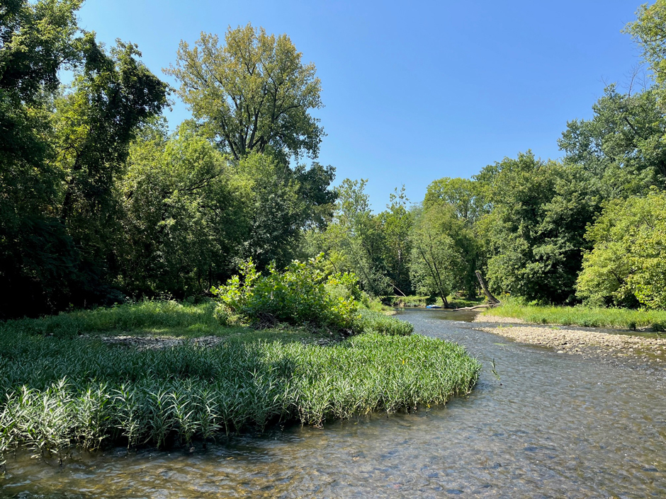
Water quality and biological assessments were conducted at a site on Big Walnut Creek near Obetz, OH, during the 2023 Middle Scioto River survey. (Credit: Ohio EPA)
Seeing Progress through Data
Data from the water and chemistry sampling efforts are used to assess and report on the quality of Ohio’s waters. It also goes on to support water quality standards development, the National Pollutant Discharge Elimination System (NPDES) permitting and total maximum daily load (TMDL) implementation—all of which play a key role in keeping Ohio’s waterways healthy.
As policies surrounding waterway protection evolve following the data collected by the Ohio EPA, the Division captures this progress with continuous data collection.
Over time, many of Ohio’s waterways have seen improvements, reflected in the return or successful reintroduction of endangered species as a result of improved water quality.
“It is really special to see the reintroduction of endangered species to a stream or find a sensitive species that wasn’t previously documented in that stream because of the improvements to water quality and the work that environmental stewards have done for the environment,” states Woodgeard.
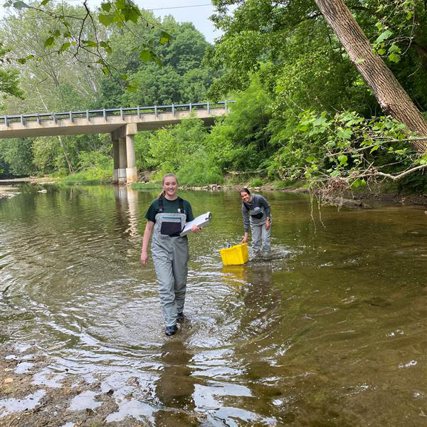
Ohio EPA water quality staff, Jenna Houdashelt (on left) and Lauren Woodgeard (on right), record field reading measurements on Alum Creek near Kilbourne, OH. (Credit: Ohio EPA)


0 comments