Posts for tag "lidar"
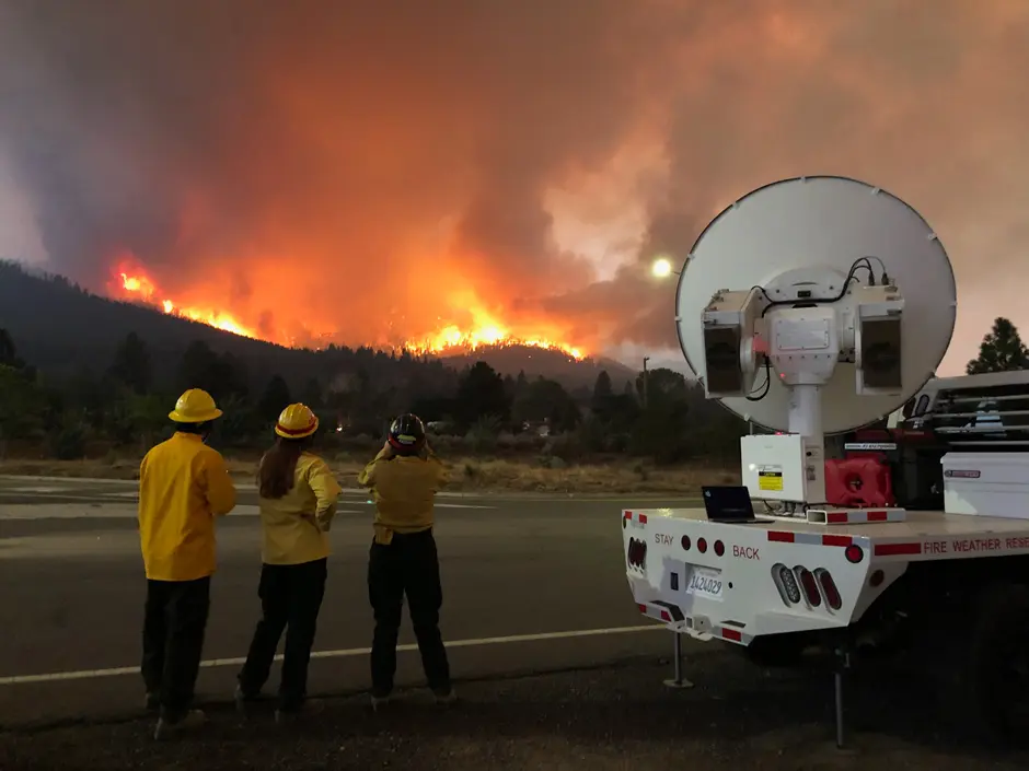
Scientists in California are Blazing New Trails in Fire Weather Research
Craig Clements hears the news: A wildfire has broken out around the California Bay Area. He quickly makes his way to the Duncan Hall of Science at San José State University, home of the Wildfire Interdisciplinary Research...
- Posted February 16, 2026
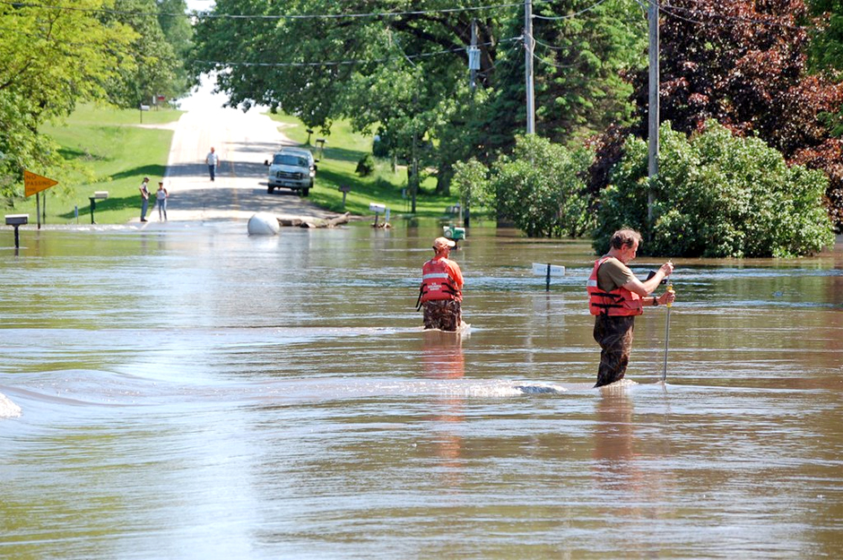

New Technologies Reducing Uncertainty in Estimation of River Flow
Deploying new technologies and modeling could allow field scientists and others to collect data often under safer conditions.
- Posted August 16, 2019
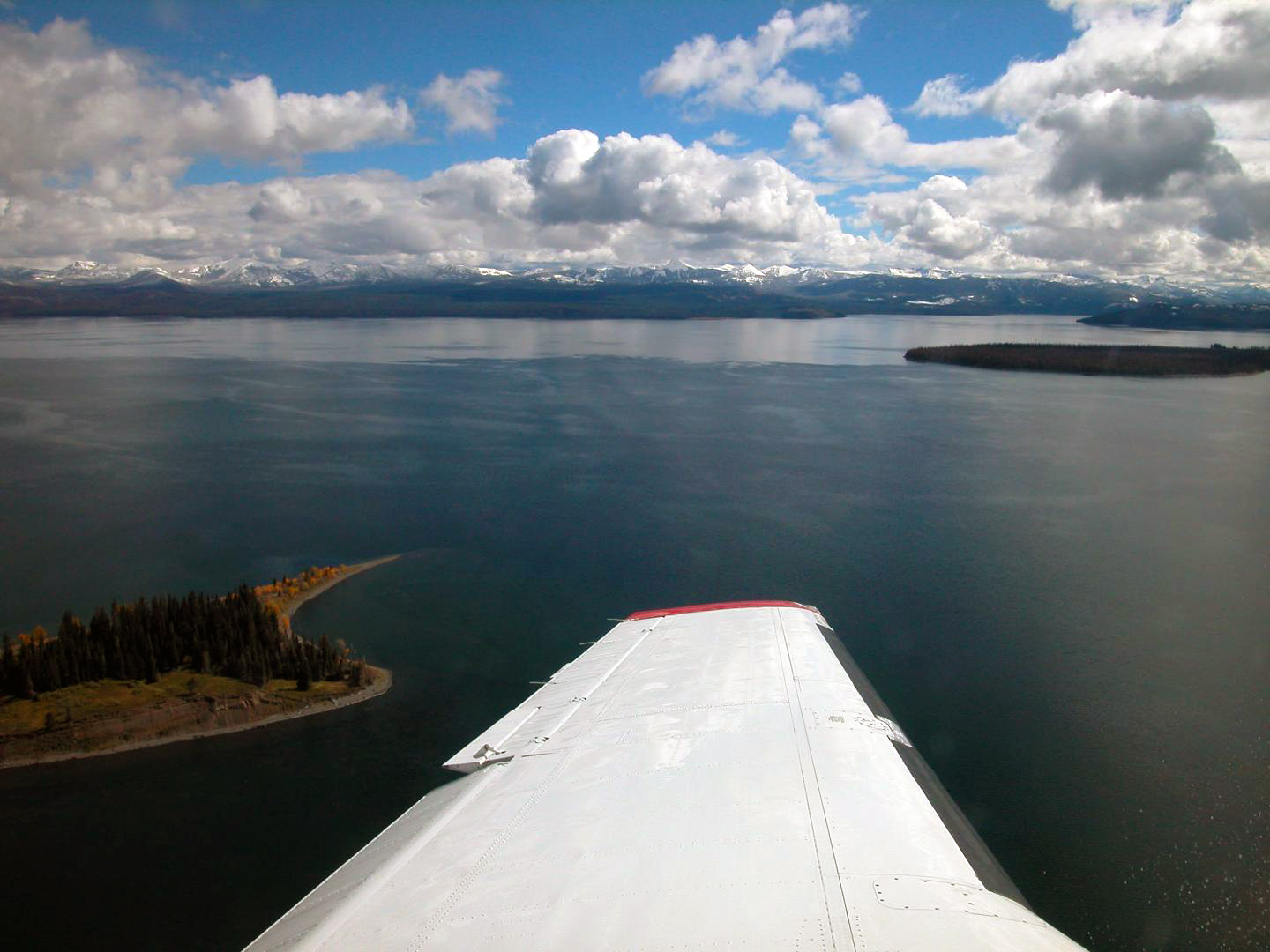

Using LiDAR in the Hunt for an Invasive Species in Yellowstone Lake
The National Park Service has a new tool in its fight to suppress a non-native species, lake trout, in Yellowstone Lake: LiDAR optimized for lakes.
- Posted July 18, 2018
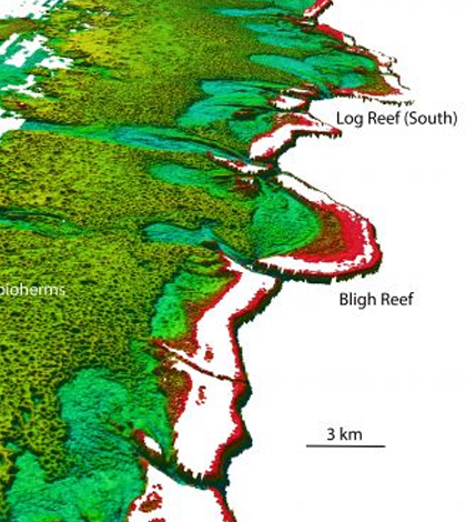

‘Donut Reef’ Revealed Behind Great Barrier Reef
Behind the Great Barrier Reef, Australian scientists use LIDAR mapping data to document an unstudied reef full of Halimeda bioherms.
- Posted September 28, 2016
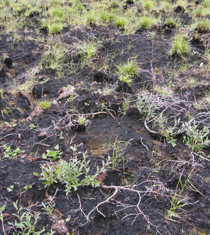
Landscape Changes After Alaska’s Anaktuvuk River Fire
USGS geographer Benjamin Jones used LiDAR to measure subsidence after the Anaktuvuk River Fire in Alaska, the largest tundra fire ever.
- Posted January 15, 2016

LIDAR Data Yield Stunning Visual History Of Oregon’s Willamette River
Making the rounds on social media lately is a stunning visual representation of the changes that Oregon’s Willamette River has experienced throughout the past 15,000 years. But how did the maps come about in the first place?...
- Posted December 9, 2015
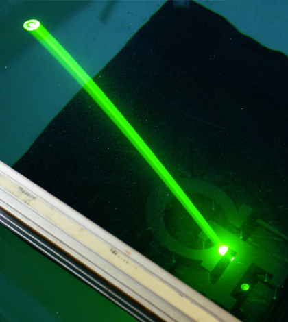
Georgia Tech Research Institute working to reduce size of conventional lidar
Scientists at Georgia Tech are working to reduce the size of current lidar systems, while making them more accurate and quick to respond
- Posted January 8, 2015


