Posts for tag "Ohio River"
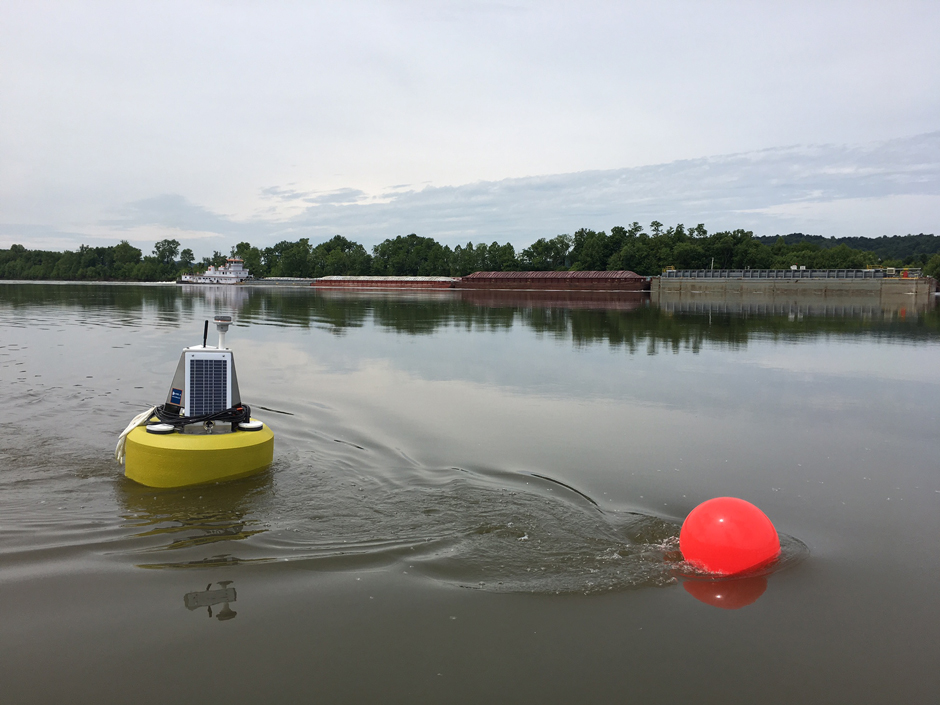
Eyes on Ohio Waters: Water Quality Monitoring in the Huntington District
The world of water quality monitoring is vast and diverse, with environmental professionals working in the field in a variety of environments and applications. From watershed monitoring to source water management, a career in water quality provides...
- Posted August 12, 2024
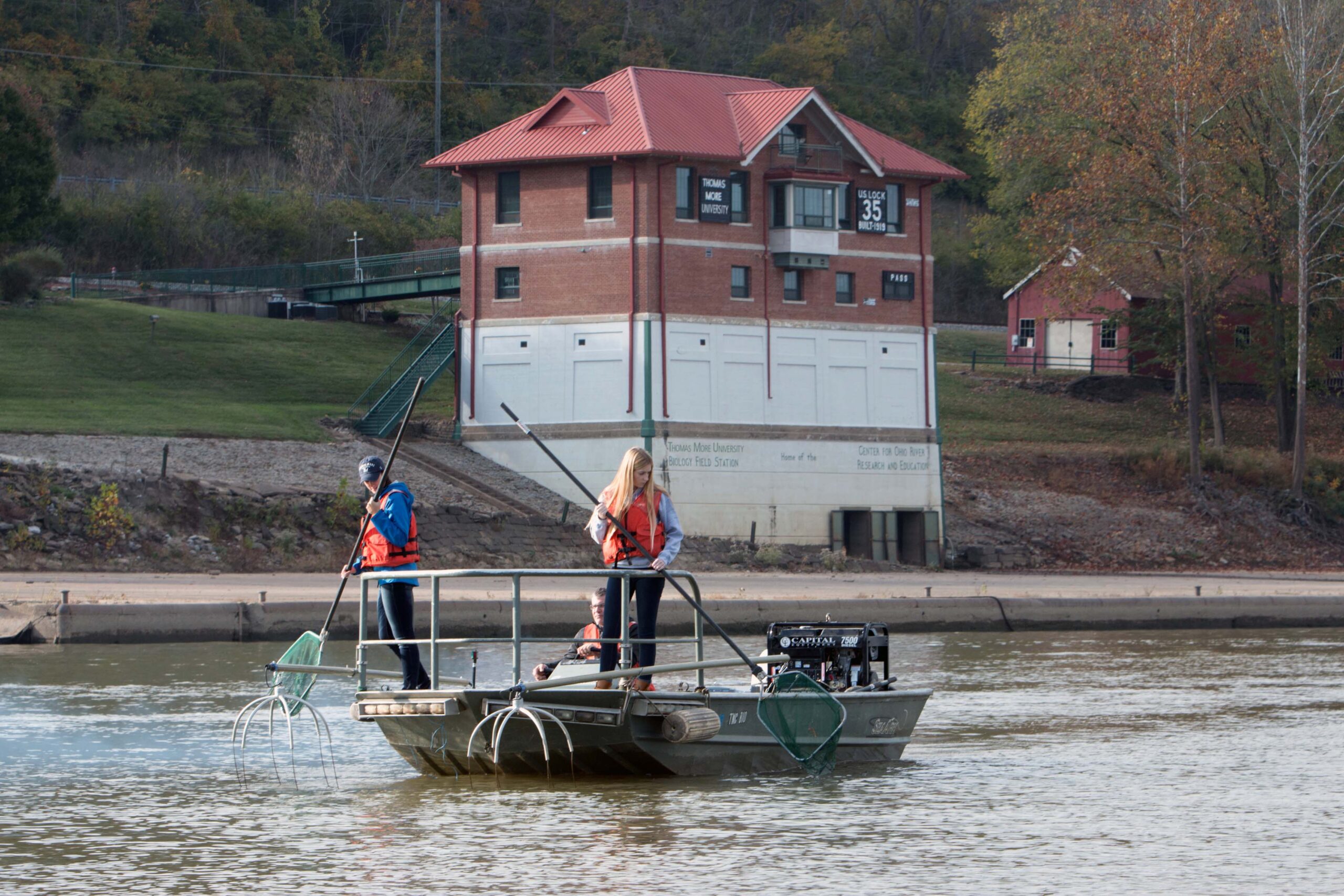

Thomas More Biology Field Station: More Than 50 Years of Great River Research
Thomas More Biology Field Station tracks Ohio River health, raises freshwater mussels and Eastern hellbenders, monitors for HAB and more.
- Posted January 11, 2019


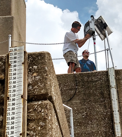
Successful ORSANCO Organic Detection System Expands Into Elk River, Charleston
The ORSANCO ODS has expanded into the Elk River in West Virginia with its 17th monitoring site, updating technology as the program’s success continues.
- Posted February 22, 2018


Ongoing Research, Education At Thomas More College Biology Field Station
The Environmental Monitor has covered the research efforts that take place at Thomas More College’s Biology Field Station before. And it is nearly impossible to cover all the works going on there, but a recent release gives...
- Posted June 9, 2016
Fondriest Gets ‘Friend Of ORBCRE’ Award
Leading up to the 31st annual symposium of the Ohio River Basin Consortium for Research and Education, the Environmental Monitor zeroed in on prominent projects from several scientists involved with ORBCRE. All of the stories were published...
- Posted November 11, 2015
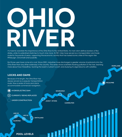
Infographic: Ohio River
It's hard to overstate the importance of the Ohio River to the United States. This infographic looks at the history of the river and it's current health.
- Posted September 18, 2015
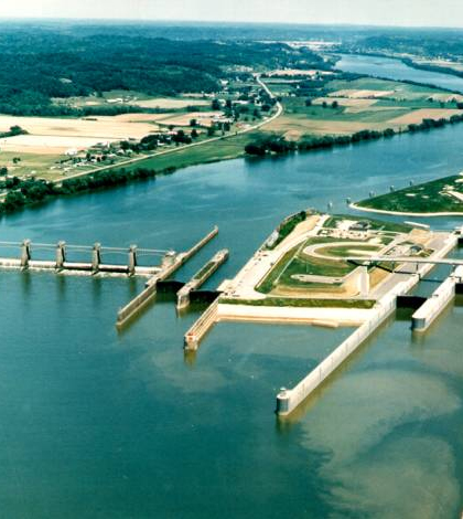
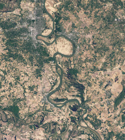
ORSANCO Works To Track The Complexities Of 981-Mile Ohio River
An update on the Ohio River Valley Water Sanitation Commission’s (ORSANCO) work to monitor the health of the Ohio River using a variety of technologies and techniques.
- Posted June 29, 2015
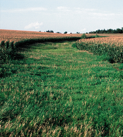
GIS-based tool could help reduce nutrient runoff into Mississippi, Ohio Rivers
Scientists at the Iowa DNR and Iowa Geological Survey used GIS maps to create a guide for mitigating nutrient runoff in the Upper Mississippi and Ohio River basins.
- Posted June 3, 2015
Modeling Ohio River chlorophyll using satellite imagery
Researchers at Marshall University use satellite imagery and grab samples to develop a model of the Ohio River’s chlorophyll levels.
- Posted June 2, 2015


Oxygen Levels Tell Extent Of Ohio River’s Metabolism
Researchers at Marshall University use dissolved oxygen, temperature and solar radiation levels to model the Ohio River’s metabolism.
- Posted June 1, 2015


