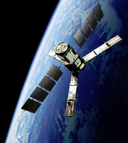
Posts for tag "satellites"
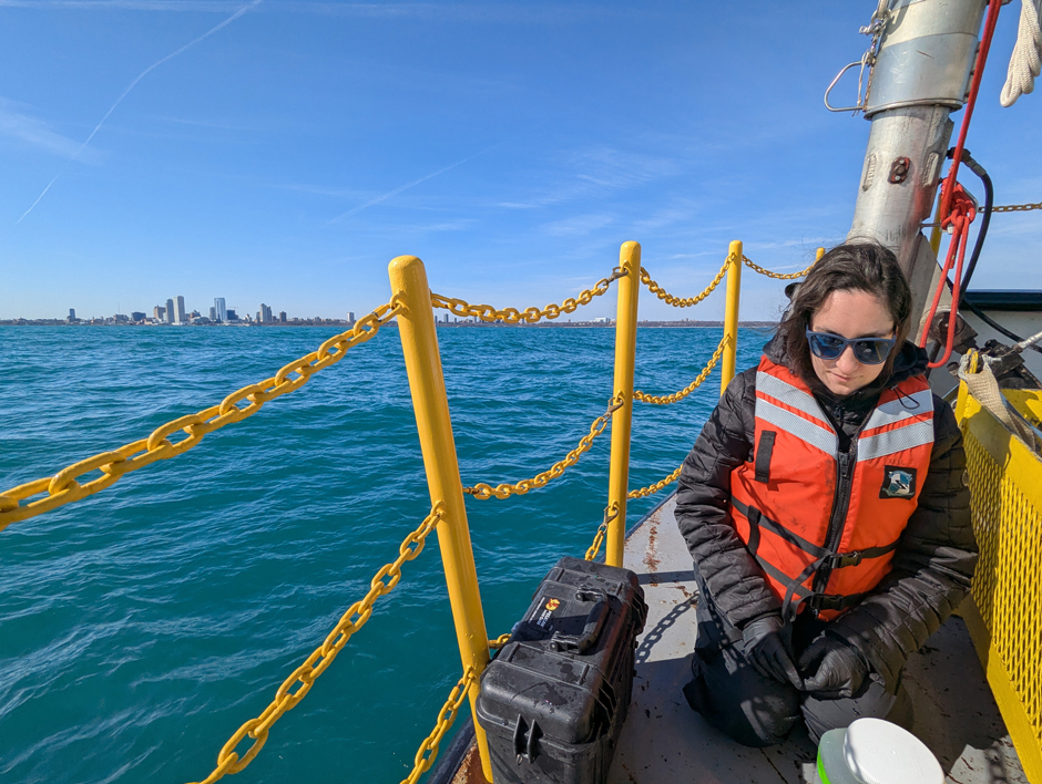
Carbon and Nutrient Monitoring in the Great Lakes Using Satellite Observations
Carbon and nutrients are the foundation of lake food webs and play an important role in the chemical and physical processes that shape aquatic ecosystems and various lake dynamics. Studying these cornerstones can help improve understanding of...
- Posted June 11, 2025


NASA Releases Satellite Image of ‘Garua’ Fog Over the Coast of Peru
A new image, captured by a NASA satellite on June 7, depicts the recent fog hovering over the coast of Peru, near the capital, Lima. The fog is caused by a combination of upwelling currents and the...
- Posted June 26, 2015
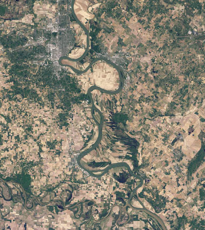
Modeling Ohio River chlorophyll using satellite imagery
Researchers at Marshall University use satellite imagery and grab samples to develop a model of the Ohio River’s chlorophyll levels.
- Posted June 2, 2015
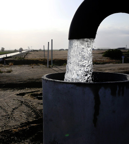
Satellites Track California’s Dwindling Groundwater
According to an article in Wired, satellite monitoring has recently been used to show California’s groundwater levels by analyzing the sinking of California land, which is directly related to groundwater depletion. Data on California’s groundwater are being...
- Posted May 26, 2015
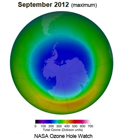
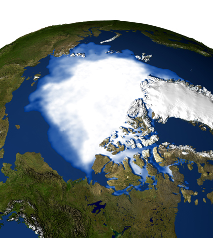
NASA Satellite Data Show Ozone Layer Improving
A new report from NASA says the ozone layer is improving, according to a recent post from the Environmental News Network. Data from NASA’s AURA satellite shows the largest hole in the ozone layer, over the Arctic,...
- Posted May 22, 2015
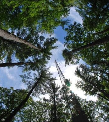
Researchers Measure Photosynthesis With Satellites, Track Tree Growth
When plants use photosynthesis for their metabolic processes, they produce a glow due to chlorophyll fluorescence. According to a recent press release from Brown University, scientists have learned how to assess that glow using satellites. A previous...
- Posted May 12, 2015
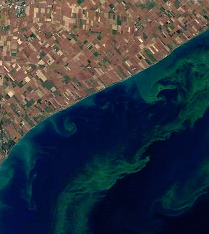
New Satellite will detect algal blooms quicker than water sampling
A new partnership between federal agencies plans to use color-sensing technology via satellite to detect harmful algal blooms. According to a release from NASA, the scientists will take advantage of ocean color data from a handful of...
- Posted April 17, 2015
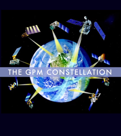
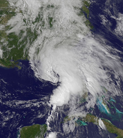
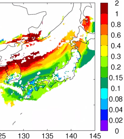
NASA to validate rainfall satellites in rainiest place in the U.S.
NASA is joining with the University of Washington for a massive data collection effort that will gather information to calibrate satellites with the Global Precipitation Measurement mission, according to a release from the school. The campaign will...
- Posted April 14, 2015
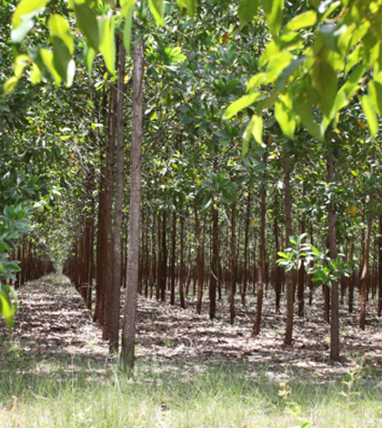
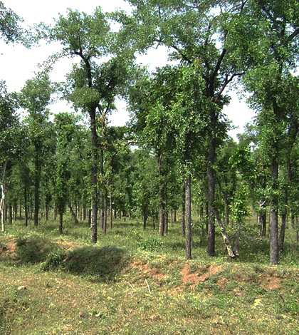
Mapping service works to sort forests from plantations in troublesome satellite data
Current aerial monitoring technology can’t necessarily detect the removal of forest to create plantations, according to a recent article in South Australia’s The Star Online. That means countries can paint a rosier picture of the environmental health...
- Posted March 18, 2015
Ocean acidification can be monitored efficiently by satellite
New satellite monitoring of ocean acidification can offer many advantages over traditional monitoring by research vessels, according to a press release from the University of Exeter. Research vessels are expensive to operate and can only assess small...
- Posted March 3, 2015
Study finds major coverage gaps in network of flood-predicting rainfall satellites
Lack of coordination between international space agencies has weakened the capabilities of global rainfall satellites, a Cornell University study says.
- Posted February 27, 2015
GAO continues climate, satellite gap warnings in risk report
The United States government could see a big bill due to too few satellites and climate change, according to a Scientific American article. The Government Accountability Office released its biennial report on risks to government programs, listing...
- Posted February 27, 2015
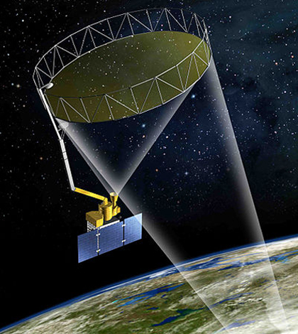
New NASA satellite tracks soil moisture for SMAP mission
The United Launch Alliance has launched a new satellite that will monitor soil moisture changes across the globe, according to NASASpaceFlight. The mission is called the Soil Moisture Active Passive, or SMAP. During the satellite’s three-year mission,...
- Posted February 13, 2015
Scientists see new satellites’ potential for tracking air quality
Scientists at the University of Iowa are hopeful that future satellites will improve air quality forecasting, according to a release from the school. Several satellites planned for launch in the next few years will have such capabilities,...
- Posted February 12, 2015
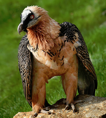
Researchers use satellites to study endangered bearded vultures in Spanish Pyrenees
Using GPS satellite technology, Spanish researchers studied endangered bearded vultures, and learned just how far these birds will fly to survive
- Posted February 4, 2015
EPIC camera aboard DSCOVR satellite will capture sunlit Earth in one shot
The National Oceanic and Atmospheric Administration is set to launch a new weather monitoring satellite in February, according to a NASA press release. The Deep Space Climate Observatory, or DSCOVR, will feature instruments contributed by NASA. The...
- Posted January 26, 2015
India seeks forest monitoring satellite for faster, more accurate data
Indian environmental officials are seeking their own satellite to accurately monitor the country’s forests, according a report from Livemint. Ministry of Environment and Forests officials say the satellite would track forest cover and expedite forest clearance procedures...
- Posted January 19, 2015


